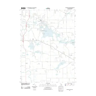
2011 Map of Michigan Center
USGS Topo · Published 2011About this map
Michigan Center and the surrounding township in Jackson County appear here as a landscape defined by an intricate network of kettle lakes and managed waterways. Central to the area's development is the Center Lake system, which includes distinctive landforms like Dyke Peninsula, Goat Island, and Maple Island. To the northeast, the village of Leoni sits near the Leoni Millpond, a testament to early water-powered industry along the regional drainage.
Find a feature on this map
123 named features on this map. Tap any name to fly to it.
Don’t see what you’re looking for? This feature index may not catch every label — zoom into the map to look around manually.
Map Details
Editions of this 2011 Michigan Center Map
This is the sole edition of this map. No revisions or reprints were ever made.
Other maps of this area

1919 · Stockbridge
USGS Topo · 1:62,500

1919 · Rives Junction
USGS Topo · 1:62,500

1921 · Rives Junction
USGS Topo · 1:62,500

1922 · Stockbridge
USGS Topo · 1:62,500

1935 · Jackson
USGS Topo · 1:48,000

1939 · Jackson
USGS Topo · 1:62,500

1942 · Stockbridge
USGS Topo · 1:62,500

1948 · Manchester
USGS Topo · 1:62,500

1949 · Manchester
USGS Topo · 1:62,500

1958 · Grand Rapids
USGS Topo · 1:250,000