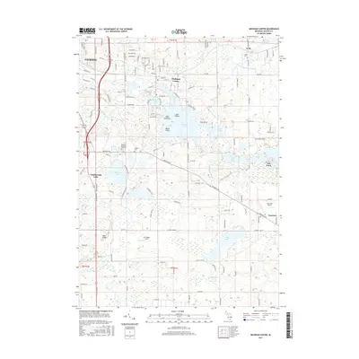
2017 Map of Michigan Center
USGS Topo · Published 2017About this map
Michigan Center serves as the focal point of this landscape, situated amidst a dense network of lakes and waterways just east of Jackson. The area is defined by its significant water features, including Center Lake and Ackerson Lake, which are linked by several named drains and millponds such as the Leoni Millpond. The pattern of development follows the irregular shorelines of Vandercook Lake and Wolf Lake, where small settlements like Oak Point and Napoleon provide a clear view of the region's transition from suburban expansion to more rural tracts. Local aviation and family history are preserved through features like the Van Wagen Airport and the Leoni Cemetery, reflecting the multi-layered utility of the land. The topography is largely gentle, save for the distinct Blue Ridge formation and the various islands such as Goat Island and Maple Island that break up the larger bodies of water.
Find a feature on this map
134 named features on this map. Tap any name to fly to it.
Don’t see what you’re looking for? This feature index may not catch every label — zoom into the map to look around manually.
Map Details
Editions of this 2017 Michigan Center Map
This is the sole edition of this map. No revisions or reprints were ever made.
Other maps of this area

1919 · Stockbridge
USGS Topo · 1:62,500

1919 · Rives Junction
USGS Topo · 1:62,500

1921 · Rives Junction
USGS Topo · 1:62,500

1922 · Stockbridge
USGS Topo · 1:62,500

1935 · Jackson
USGS Topo · 1:48,000

1939 · Jackson
USGS Topo · 1:62,500

1942 · Stockbridge
USGS Topo · 1:62,500

1948 · Manchester
USGS Topo · 1:62,500

1949 · Manchester
USGS Topo · 1:62,500

1958 · Grand Rapids
USGS Topo · 1:250,000