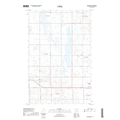
2017 Map of Michigan West
USGS Topo · Published 2017About this map
Michigan City anchors the southeastern corner of this North Dakota landscape, situated along a primary east-west transportation corridor. The terrain is defined by a dense network of prairie potholes and larger water bodies, including the prominent Lake Laretta, Rose Lake, and Fiske Lake. These glacial features create a complex hydrological pattern that dictated the original settlement and road layouts, such as the path of Mapes Rd and Co Rd 8.
Find a feature on this map
29 named features on this map. Tap any name to fly to it.
Don’t see what you’re looking for? This feature index may not catch every label — zoom into the map to look around manually.
Map Details
Editions of this 2017 Michigan West Map
This is the sole edition of this map. No revisions or reprints were ever made.
Other maps of this area

1930 · Pekin
USGS Topo · 1:62,500

1942 · McVille
USGS Topo · 1:62,500

1951 · Pekin NE
USGS Topo · 1:24,000

1951 · Pekin
USGS Topo · 1:62,500

1952 · New Rockford
USGS Topo · 1:250,000

1953 · Devils Lake
USGS Topo · 1:250,000

1956 · New Rockford
USGS Topo · 1:250,000

1956 · Devils Lake
USGS Topo · 1:250,000

1970 · Lakota
USGS Topo · 1:24,000

1971 · Michigan West
USGS Topo · 1:24,000