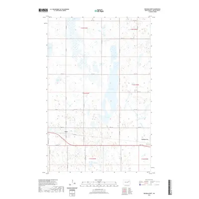
2020 Map of Michigan West
USGS Topo · Published 2020About this map
Michigan City and the nearby settlement of Mapes anchor this Nelson County landscape, illustrating a classic High Plains settlement pattern defined by the Public Land Survey System. The area is characterized by numerous prairie potholes and wetlands, including McHugh Slough, Fiske Lake, and the larger Lake Laretta, which borders Rose Lake to the south. These water bodies are scattered across a grid of section lines and township boundaries such as t153n r59w and t154n r58w. A well-developed network of rural roads, including Mapes Rd, Co Rd 22, and Co Rd 8, facilitates travel between the small communities and the surrounding agricultural tracts. The map captures the enduring rural character of this North Dakota region, where local geography is inextricably linked to the systematic division of the land and the preservation of native wetlands.
Find a feature on this map
22 named features on this map. Tap any name to fly to it.
Don’t see what you’re looking for? This feature index may not catch every label — zoom into the map to look around manually.
Map Details
Editions of this 2020 Michigan West Map
This is the sole edition of this map. No revisions or reprints were ever made.
Other maps of this area

1930 · Pekin
USGS Topo · 1:62,500

1942 · McVille
USGS Topo · 1:62,500

1951 · Pekin NE
USGS Topo · 1:24,000

1951 · Pekin
USGS Topo · 1:62,500

1952 · New Rockford
USGS Topo · 1:250,000

1953 · Devils Lake
USGS Topo · 1:250,000

1956 · New Rockford
USGS Topo · 1:250,000

1956 · Devils Lake
USGS Topo · 1:250,000

1970 · Lakota
USGS Topo · 1:24,000

1971 · Michigan West
USGS Topo · 1:24,000