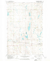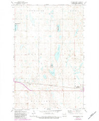
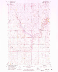
1971 Map of Michigan West
USGS Topo · Published 1984This historical map portrays the area of Michigan West in 1971, primarily covering Nelson County. Featuring a scale of 1:24000, this map provides a highly detailed snapshot of the terrain, roads, buildings, counties, and historical landmarks in the Michigan West region at the time. Published in 1984, it is one of 2 known editions of this map due to revisions or reprints.
Map Details
Editions of this 1971 Michigan West Map
2 editions found
Historical Maps of Nelson County Through Time
17 maps found
1951 Pekin NE
Nelson County, ND
1951 Pekin NW
Nelson County, ND
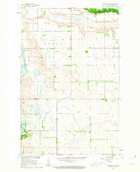
1961 Binford NE
Nelson County, ND
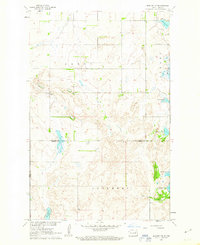
1961 Binford NW
Nelson County, ND
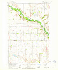
1961 Kloten NW
Nelson County, ND
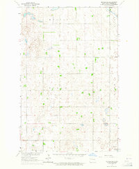
1963 McVille SE
Nelson County, ND
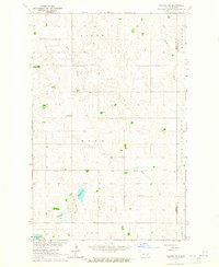
1963 Niagara SW
Nelson County, ND
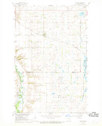
1967 Kloten
Nelson County, ND
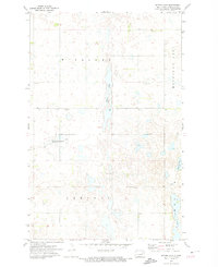
1971 Bitter Lake
Nelson County, ND
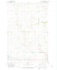
1971 Fordville SW
Nelson County, ND
1971 Lake Pickard
Nelson County, ND
1971 Lambs Lake
Nelson County, ND
1971 Michigan East
Nelson County, ND

1971 Michigan West
Nelson County, ND
1971 Pelto
Nelson County, ND
1971 Whitman
Nelson County, ND
1985 Stump Lake
Nelson County, ND
