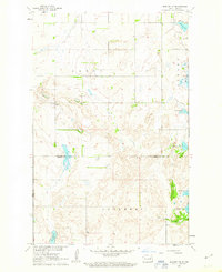
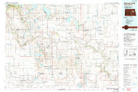
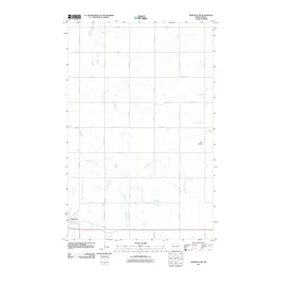
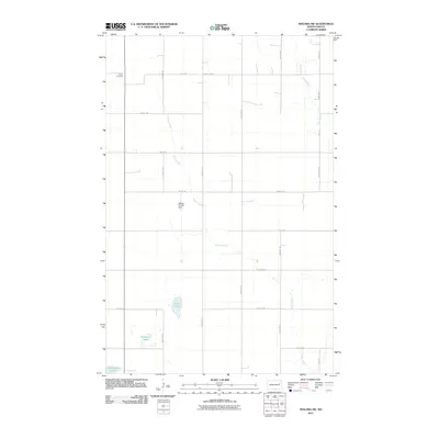
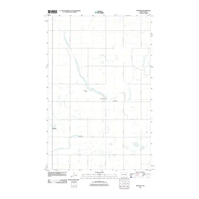
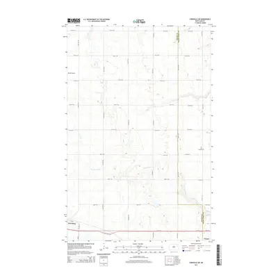
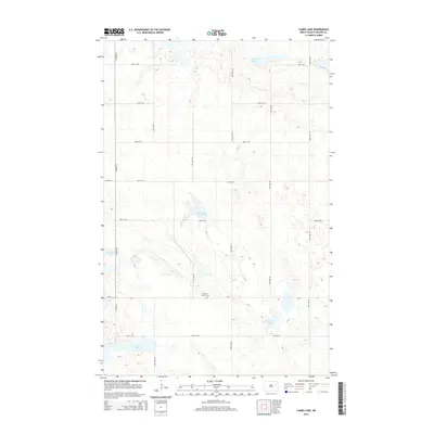
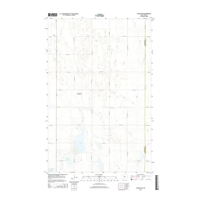
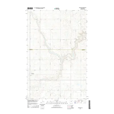
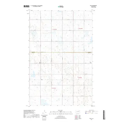
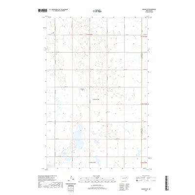
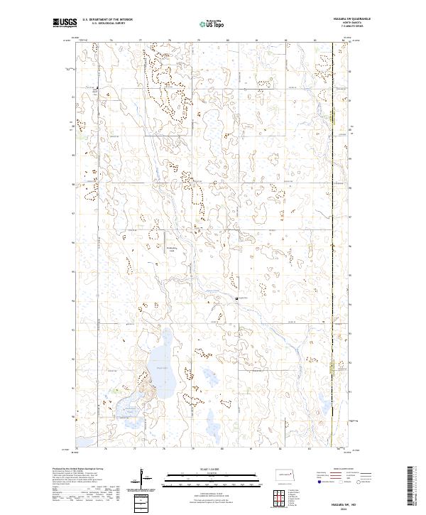
1963 Map of Niagara SW
USGS Topo · Published 1964About this map
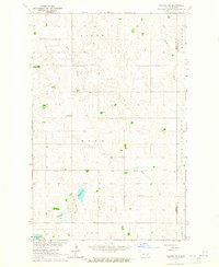
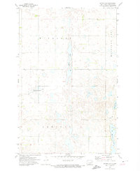
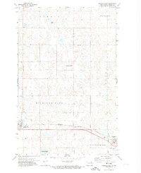
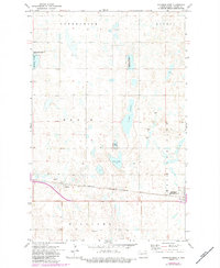
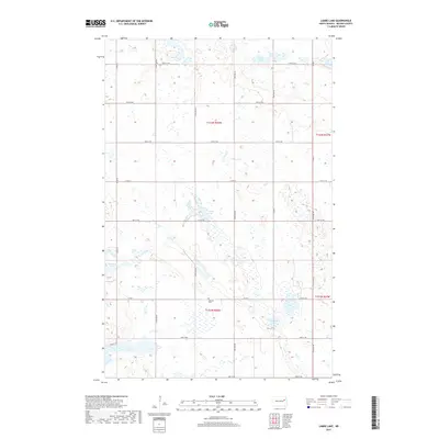
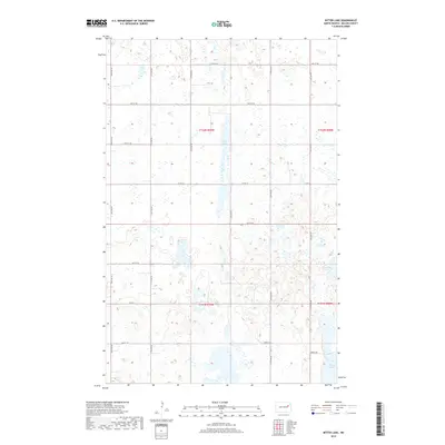
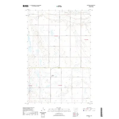
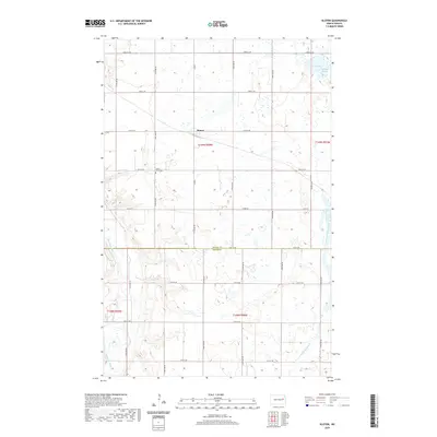
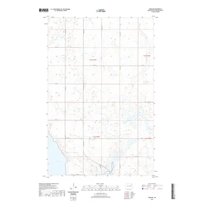
Goose Creek meanders through the heart of this Nelson County landscape, defining a terrain dominated by glacial moraine deposits and scattered prairie potholes. The rural character of the early 1960s is preserved here, showing a network of section-line roads connecting small townships such as Adler, Rugh, and Logan Center. Local civic life and family heritage are anchored by scattered landmarks, including the central Townhall and several burial grounds like Union Cem and Logan Ch Cem. The presence of numerous water bodies, from the prominent Rugh Lake to the smaller Horseshoe Lake and Hillesland Lake, reflects the complex drainage patterns of the regional moraine. Occasional Gravel Pit sites indicate the local extraction of glacial materials used for building the township's road infrastructure during this era.
Find a feature on this map
16 named features on this map. Tap any name to fly to it.
Don’t see what you’re looking for? This feature index may not catch every label — zoom into the map to look around manually.
Map Details
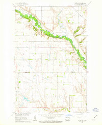
Editions of this 1963 Niagara SW Map
This is the sole edition of this map. No revisions or reprints were ever made.
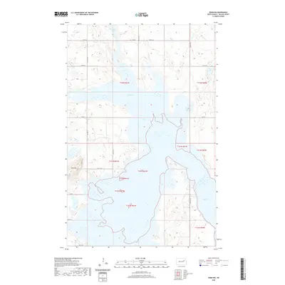
Historical Maps of Grand Forks County Through Time
97 maps found
1951 Pekin NE
Nelson County, ND
1951 Pekin NW
Nelson County, ND
1961 Binford NE
Nelson County, ND
1961 Binford NW
Nelson County, ND
1961 Kloten NW
Nelson County, ND
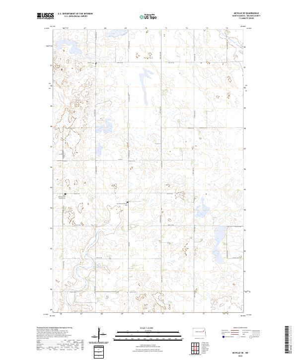
1963 McVille SE
Nelson County, ND
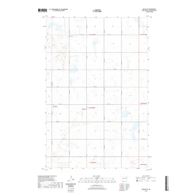
1963 Niagara SW
Nelson County, ND
1967 Kloten
Nelson County, ND
1971 Bitter Lake
Nelson County, ND
1971 Fordville SW
Nelson County, ND
1971 Lake Pickard
Nelson County, ND
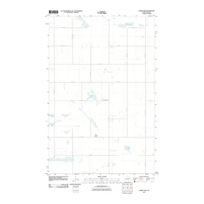
1971 Lambs Lake
Nelson County, ND
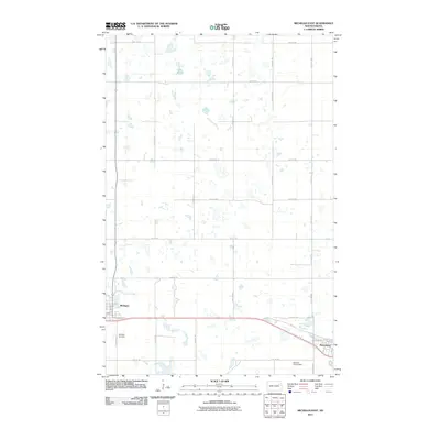
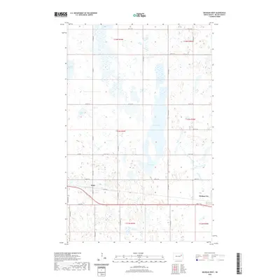
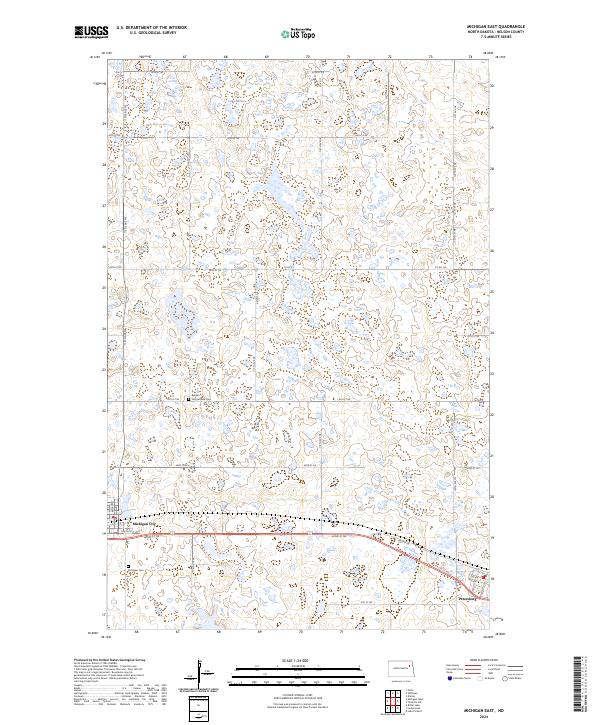
1971 Michigan East
Nelson County, ND
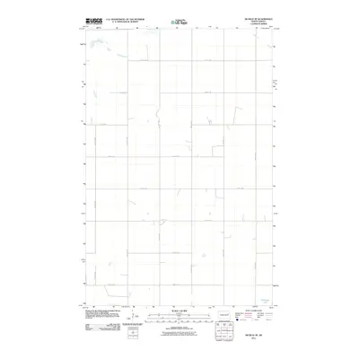
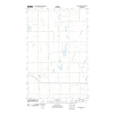
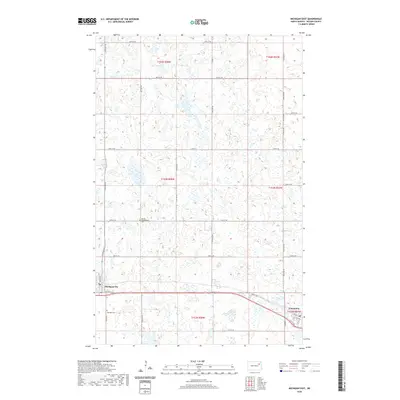
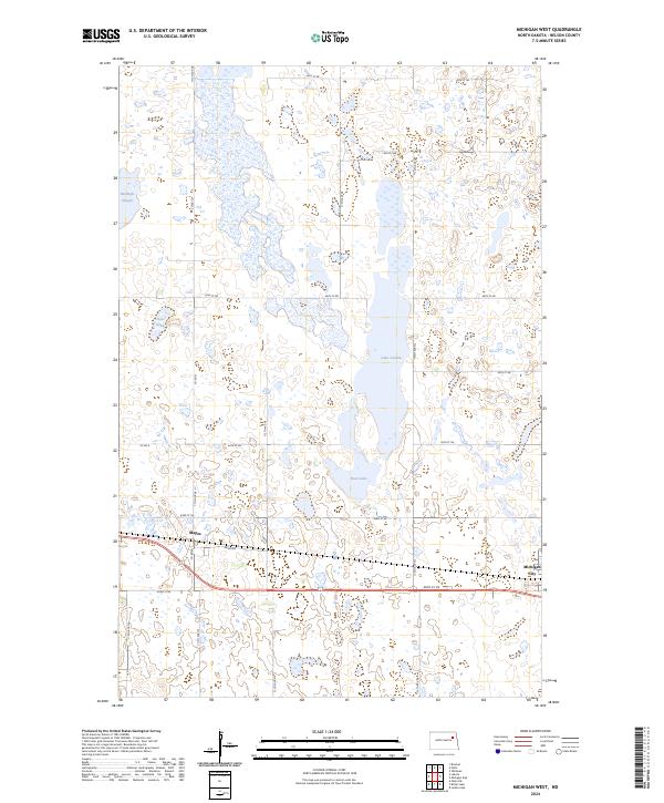
1971 Michigan West
Nelson County, ND
1971 Pelto
Nelson County, ND
1971 Whitman
Nelson County, ND
1985 Stump Lake
Nelson County, ND
2011 Binford NE
Nelson County, ND
2011 Binford NW
Nelson County, ND
2011 Bitter Lake
Nelson County, ND
2011 Fordville SW
Nelson County, ND
2011 Kloten
Nelson County, ND
2011 Kloten NW
Nelson County, ND
2011 Lake Pickard
Nelson County, ND
2011 Lambs Lake
Nelson County, ND
2011 McVille SE
Nelson County, ND
2011 Michigan East
Nelson County, ND
2011 Michigan West
Nelson County, ND
2011 Niagara SW
Nelson County, ND
2011 Pekin NE
Nelson County, ND
2011 Pekin NW
Nelson County, ND
2011 Pelto
Nelson County, ND
2011 Whitman
Nelson County, ND
2014 Binford NE
Nelson County, ND
2014 Binford NW
Nelson County, ND
2014 Bitter Lake
Nelson County, ND
2014 Fordville SW
Nelson County, ND
2014 Kloten
Nelson County, ND
2014 Kloten NW
Nelson County, ND
2014 Lake Pickard
Nelson County, ND
2014 Lambs Lake
Nelson County, ND
2014 McVille SE
Nelson County, ND
2014 Michigan East
Nelson County, ND
2014 Michigan West
Nelson County, ND
2014 Niagara SW
Nelson County, ND
2014 Pekin NE
Nelson County, ND
2014 Pekin NW
Nelson County, ND
2014 Pelto
Nelson County, ND
2014 Whitman
Nelson County, ND
2017 Fordville SW
Nelson County, ND
2017 Kloten NW
Nelson County, ND
2017 Lake Pickard
Nelson County, ND
2017 Lambs Lake
Nelson County, ND
2017 Michigan East
Nelson County, ND
2017 Michigan West
Nelson County, ND
2017 Niagara SW
Nelson County, ND

2017 Pekin NW
Nelson County, ND
2017 Pelto
Nelson County, ND
2017 Whitman
Nelson County, ND
2018 Binford NE
Nelson County, ND
2018 Binford NW
Nelson County, ND
2018 Bitter Lake
Nelson County, ND
2018 Kloten
Nelson County, ND
2018 McVille SE
Nelson County, ND
2018 Pekin NE
Nelson County, ND
2020 Binford NE
Nelson County, ND
2020 Binford NW
Nelson County, ND
2020 Bitter Lake
Nelson County, ND
2020 Fordville SW
Nelson County, ND
2020 Kloten
Nelson County, ND
2020 Kloten NW
Nelson County, ND
2020 Lake Pickard
Nelson County, ND
2020 Lambs Lake
Nelson County, ND
2020 McVille SE
Nelson County, ND
2020 Michigan East
Nelson County, ND
2020 Michigan West
Nelson County, ND
2020 Niagara SW
Nelson County, ND
2020 Pekin NE
Nelson County, ND
2020 Pekin NW
Nelson County, ND
2020 Pelto
Nelson County, ND
2020 Whitman
Nelson County, ND
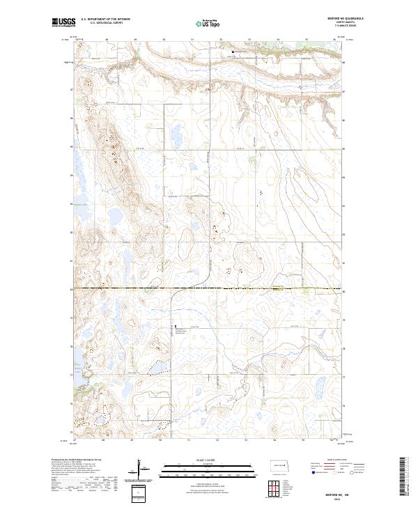
2024 Binford NE
Nelson County, ND
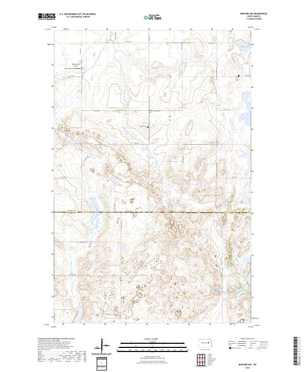
2024 Binford NW
Nelson County, ND
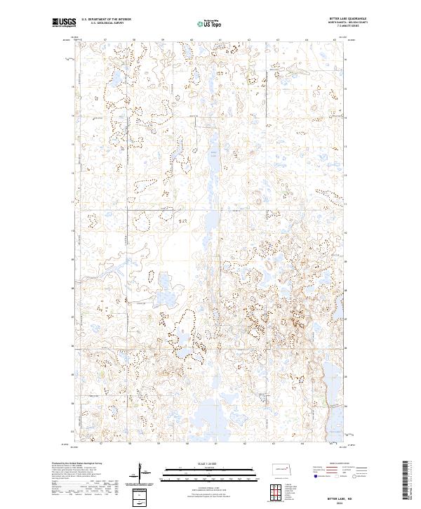
2024 Bitter Lake
Nelson County, ND
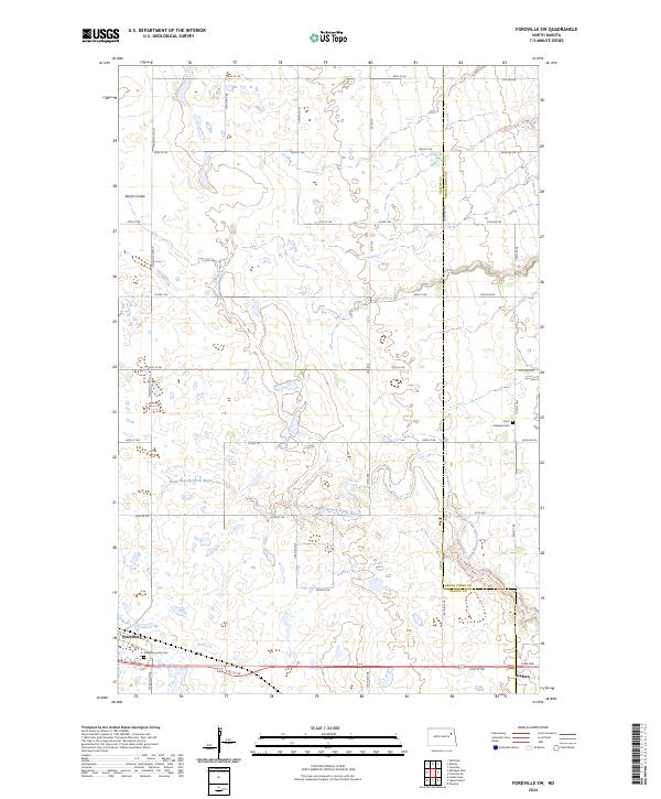
2024 Fordville SW
Nelson County, ND
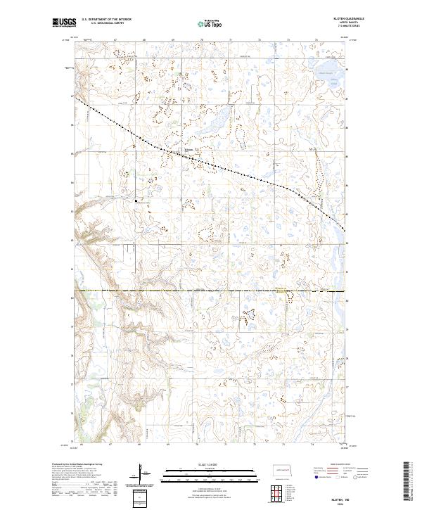
2024 Kloten
Nelson County, ND
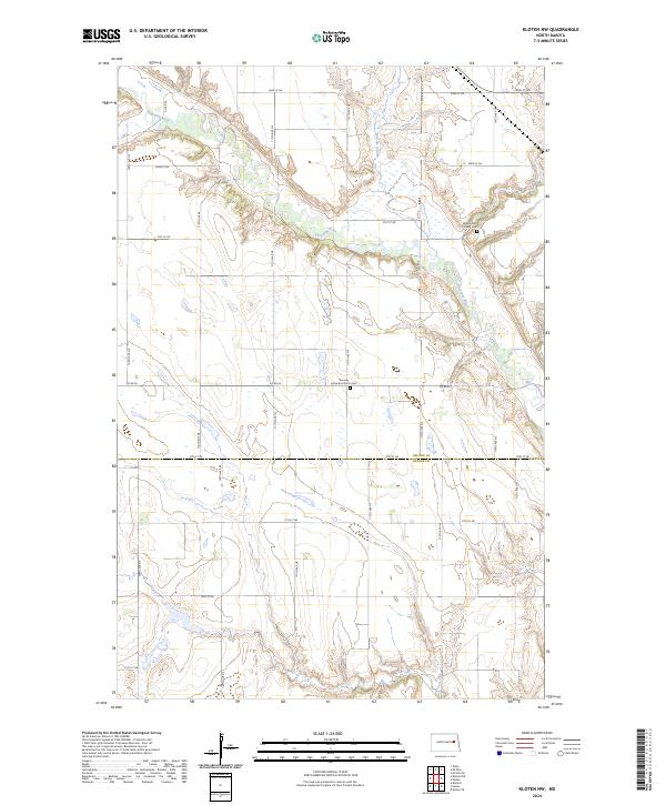
2024 Kloten NW
Nelson County, ND
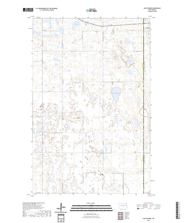
2024 Lake Pickard
Nelson County, ND
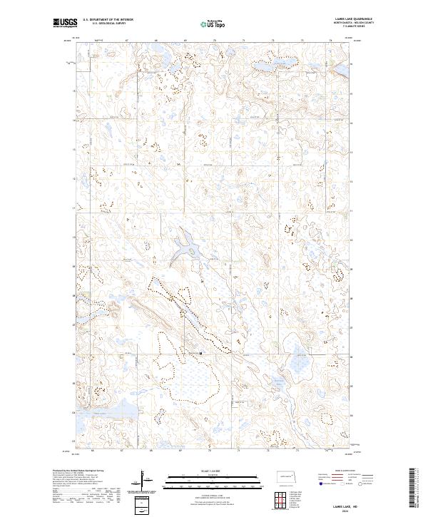
2024 Lambs Lake
Nelson County, ND
2024 McVille SE
Nelson County, ND
2024 Michigan East
Nelson County, ND
2024 Michigan West
Nelson County, ND
2024 Niagara SW
Nelson County, ND
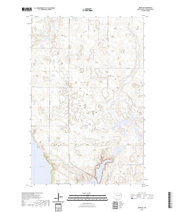
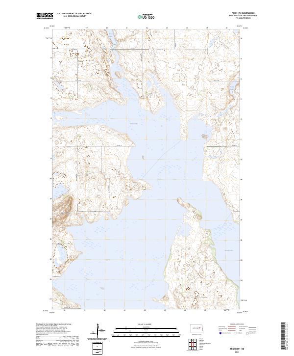
2024 Pekin NE
Nelson County, ND
2024 Pekin NW
Nelson County, ND
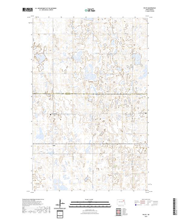
2024 Pelto
Nelson County, ND
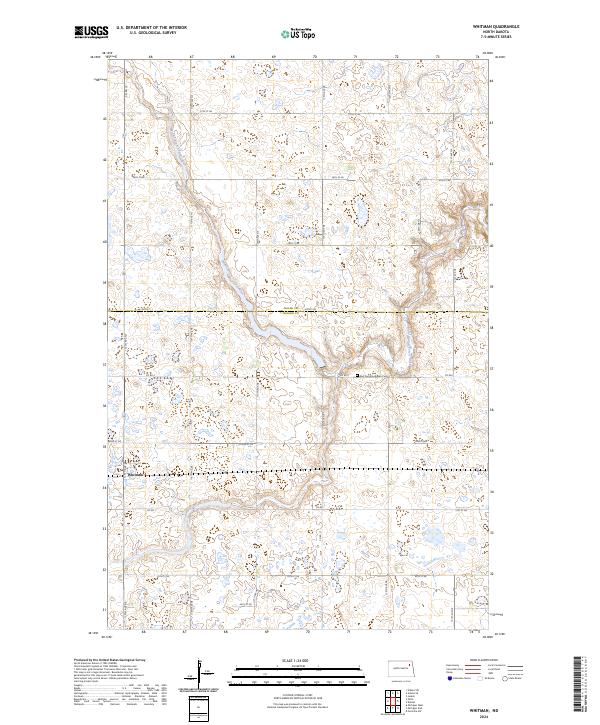
2024 Whitman
Nelson County, ND