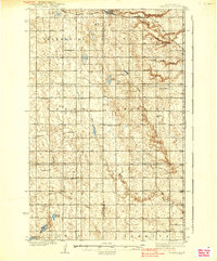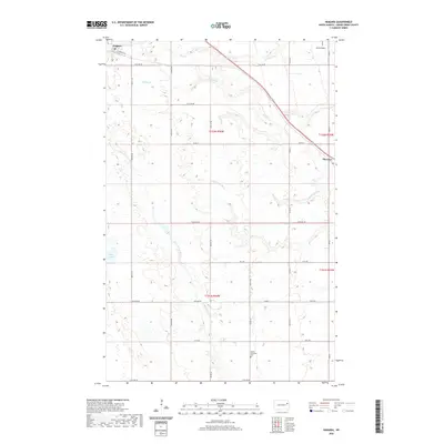
1963 Map of Niagara
USGS Topo · Published 1964About this map
Niagara and the surrounding plains of Grand Forks Co are defined by the diagonal transit of the Great Northern railroad, which historically shaped the development of these prairie communities. The landscape is marked by the distinct terminal Moraine in the south, while the northern sections are drained by Whisky Creek and the South Branch Turtle River. A significant portion of the western territory is dedicated to the Little Goose National Wildlife Refuge, encompassing the Little Goose River and Smith Lakes. This map records a time when rural education and local faith remained anchored to specific landmarks like Larimore Sch No 3 and Bethel Ch, with the associated Bethel Ch Cem providing a vital point of reference for genealogists tracing families in this part of North Dakota.
Find a feature on this map
20 named features on this map. Tap any name to fly to it.
Don’t see what you’re looking for? This feature index may not catch every label — zoom into the map to look around manually.
Map Details
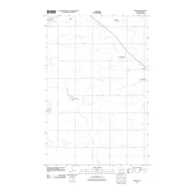
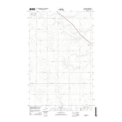
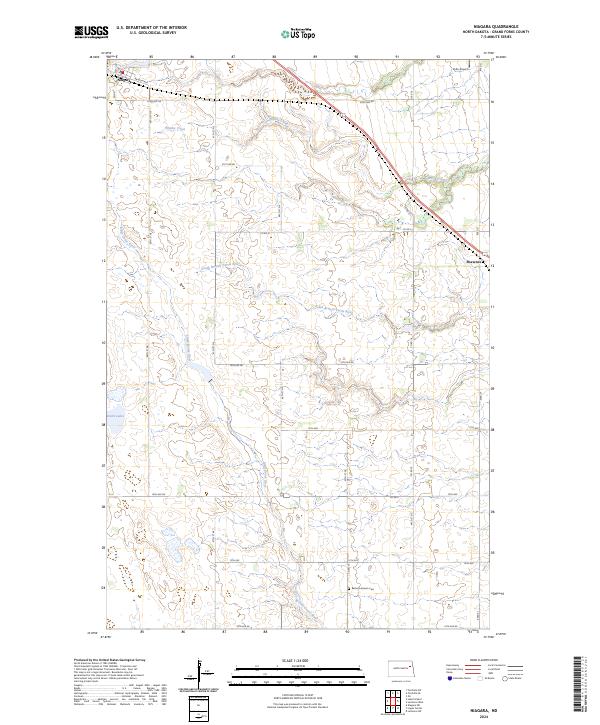
Editions of this 1963 Niagara Map
This is the sole edition of this map. No revisions or reprints were ever made.
Historical Maps of Niagara Through Time
7 maps found