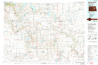
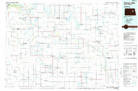
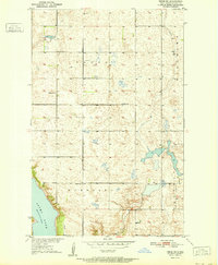
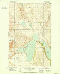
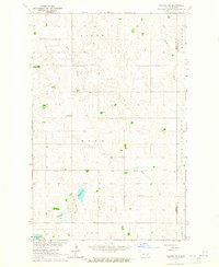
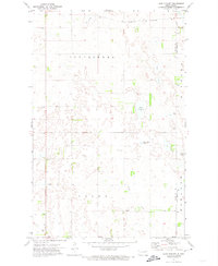
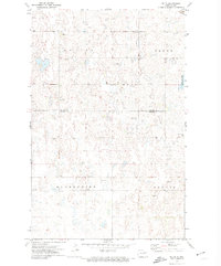
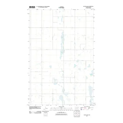
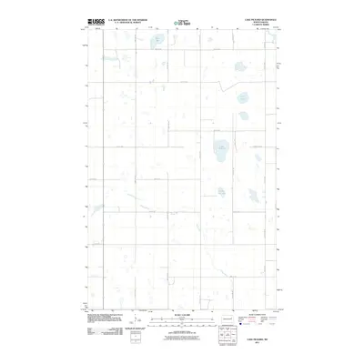
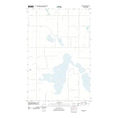
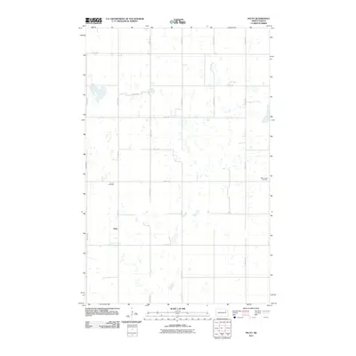
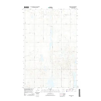
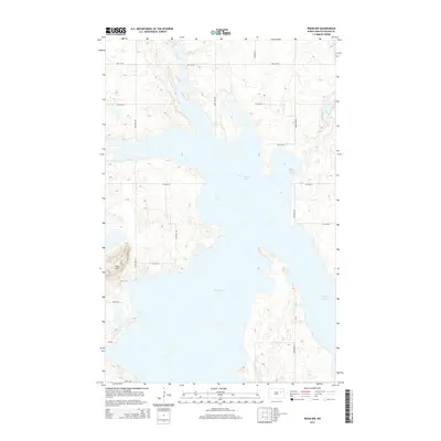
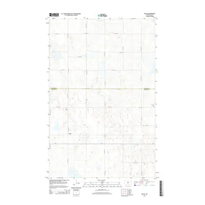
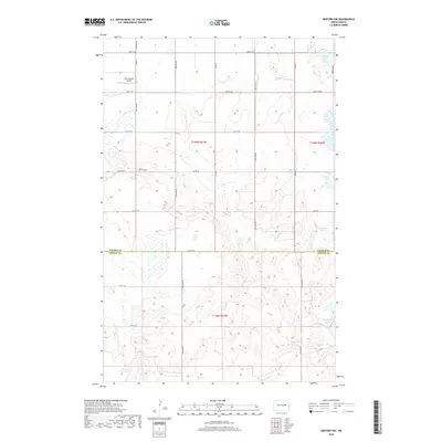
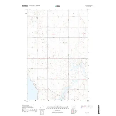
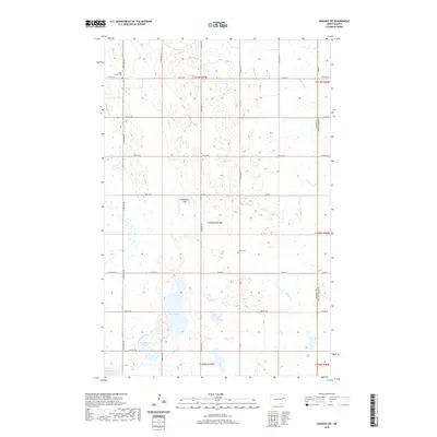
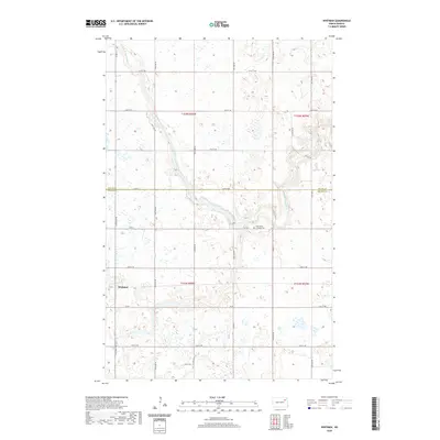
1985 Map of Stump Lake
USGS Topo · Published 1992About this map
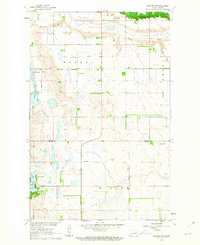
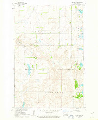
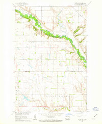
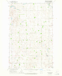
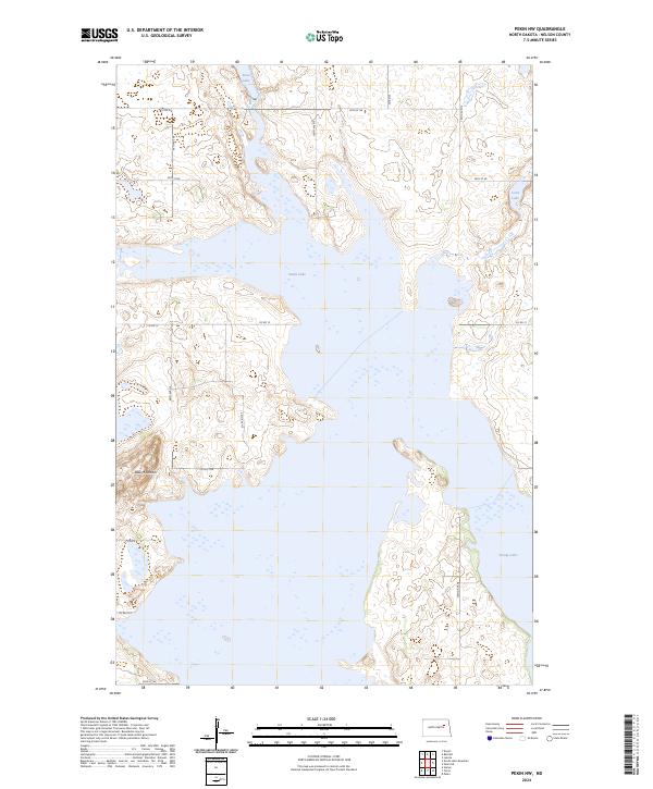
Fort Totten and the Devils Lake Sioux Indian Reservation anchor the northwestern portion of this 1985 landscape, where the prairie is defined by a dense network of glacial lakes and waterfowl management areas. The Sheyenne River winds through the central territory, passing near settlements such as Tokio, Warwick, and Pekin. This region is a sanctuary for migratory birds, evidenced by the numerous specialized preserves including the Stump Lake National Wildlife Refuge and Sullys Hill National Wildlife Refuge.
Find a feature on this map
149 named features on this map. Tap any name to fly to it.
Don’t see what you’re looking for? This feature index may not catch every label — zoom into the map to look around manually.
Map Details
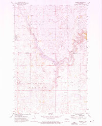
Editions of this 1985 Stump Lake Map
2 editions found
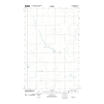
Historical Maps of McVille Through Time
97 maps found
1951 Pekin NE
Nelson County, ND
1951 Pekin NW
Nelson County, ND
1961 Binford NE
Nelson County, ND
1961 Binford NW
Nelson County, ND
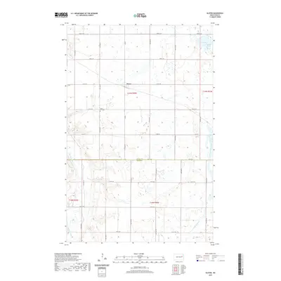
1961 Kloten NW
Nelson County, ND
1963 McVille SE
Nelson County, ND
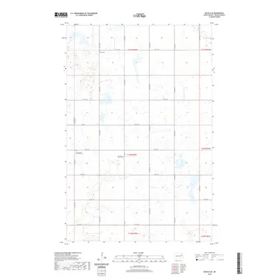
1963 Niagara SW
Nelson County, ND
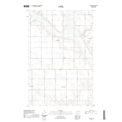
1967 Kloten
Nelson County, ND
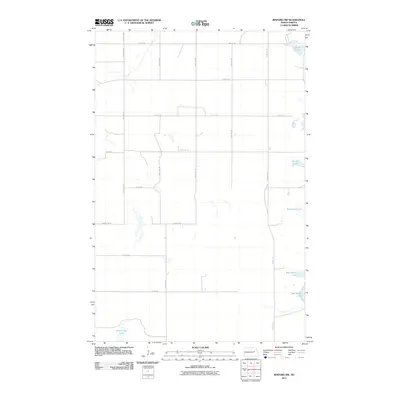
1971 Bitter Lake
Nelson County, ND
1971 Fordville SW
Nelson County, ND
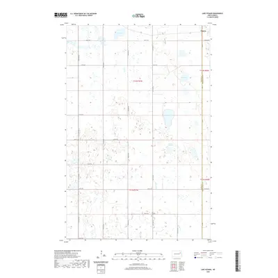
1971 Lake Pickard
Nelson County, ND
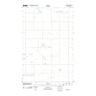
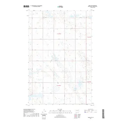
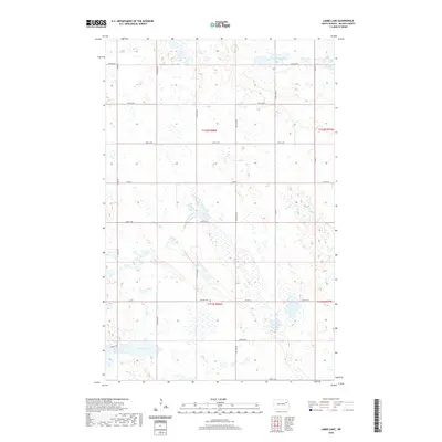
1971 Lambs Lake
Nelson County, ND
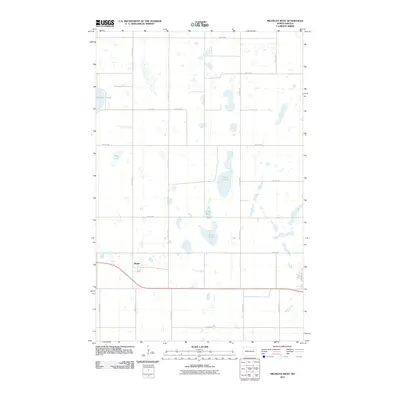
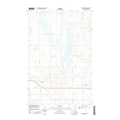
1971 Michigan East
Nelson County, ND
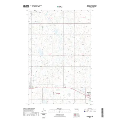
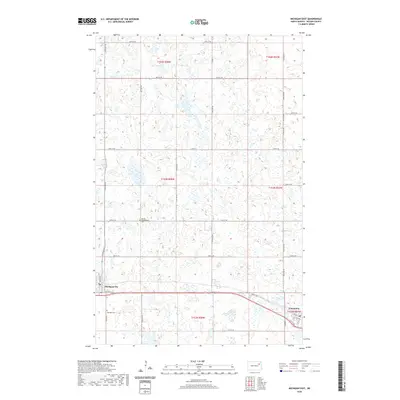
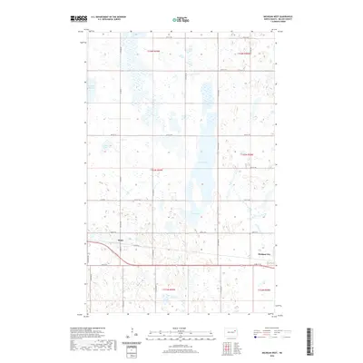
1971 Michigan West
Nelson County, ND
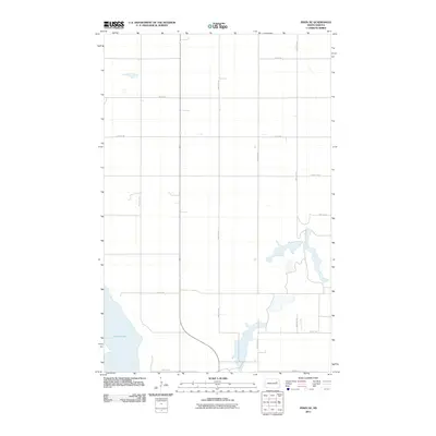
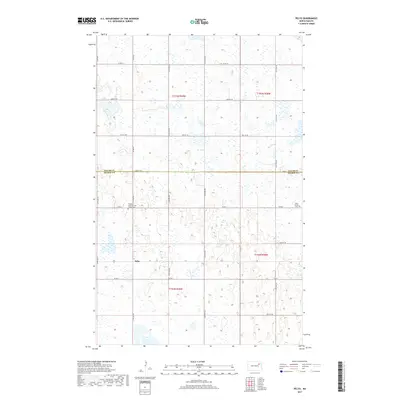
1971 Pelto
Nelson County, ND
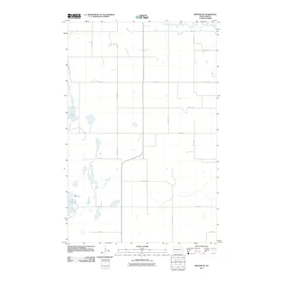
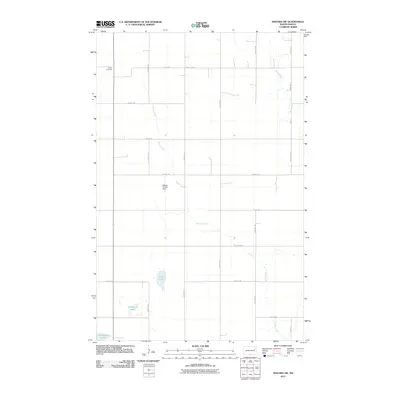
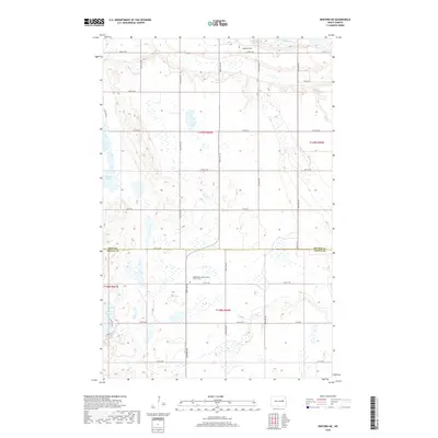
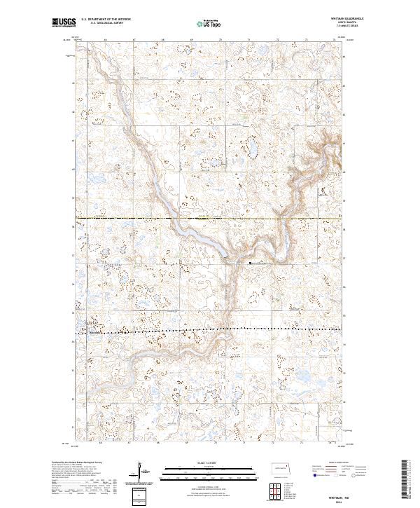
1971 Whitman
Nelson County, ND
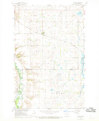
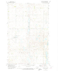
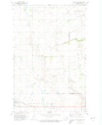
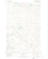
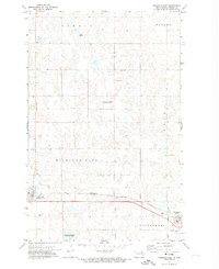
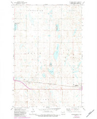
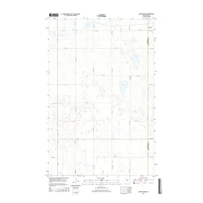
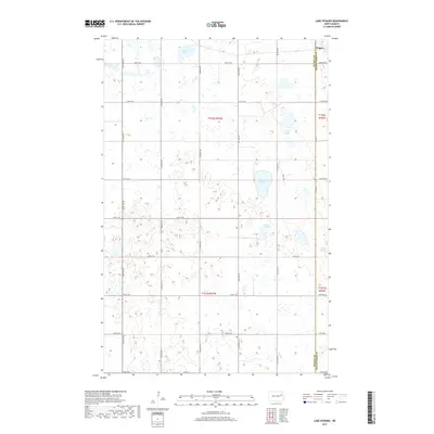
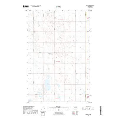
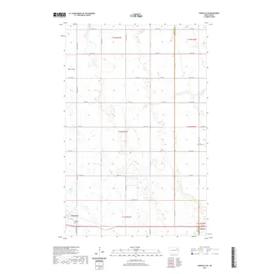
1985 Stump Lake
Nelson County, ND
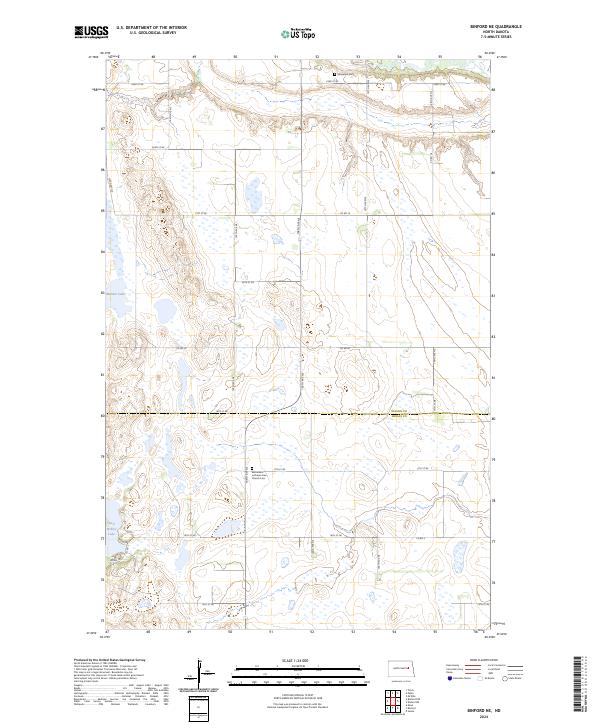
2011 Binford NE
Nelson County, ND
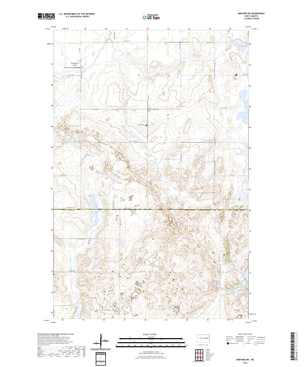
2011 Binford NW
Nelson County, ND
2011 Bitter Lake
Nelson County, ND
2011 Fordville SW
Nelson County, ND
2011 Kloten
Nelson County, ND
2011 Kloten NW
Nelson County, ND
2011 Lake Pickard
Nelson County, ND
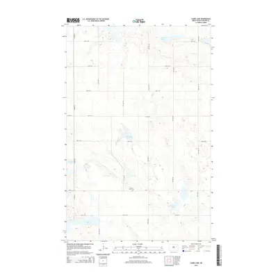
2011 Lambs Lake
Nelson County, ND
2011 McVille SE
Nelson County, ND
2011 Michigan East
Nelson County, ND
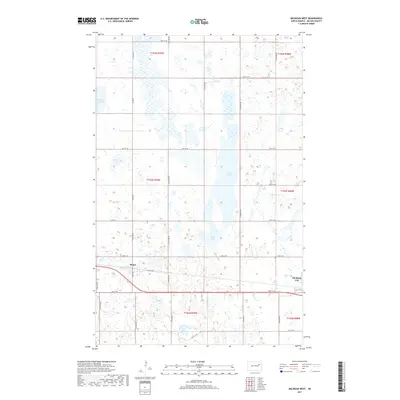
2011 Michigan West
Nelson County, ND
2011 Niagara SW
Nelson County, ND
2011 Pekin NE
Nelson County, ND
2011 Pekin NW
Nelson County, ND
2011 Pelto
Nelson County, ND
2011 Whitman
Nelson County, ND
2014 Binford NE
Nelson County, ND
2014 Binford NW
Nelson County, ND
2014 Bitter Lake
Nelson County, ND
2014 Fordville SW
Nelson County, ND
2014 Kloten
Nelson County, ND
2014 Kloten NW
Nelson County, ND
2014 Lake Pickard
Nelson County, ND
2014 Lambs Lake
Nelson County, ND
2014 McVille SE
Nelson County, ND
2014 Michigan East
Nelson County, ND
2014 Michigan West
Nelson County, ND
2014 Niagara SW
Nelson County, ND
2014 Pekin NE
Nelson County, ND
2014 Pekin NW
Nelson County, ND
2014 Pelto
Nelson County, ND
2014 Whitman
Nelson County, ND
2017 Fordville SW
Nelson County, ND
2017 Kloten NW
Nelson County, ND
2017 Lake Pickard
Nelson County, ND
2017 Lambs Lake
Nelson County, ND
2017 Michigan East
Nelson County, ND
2017 Michigan West
Nelson County, ND
2017 Niagara SW
Nelson County, ND

2017 Pekin NW
Nelson County, ND
2017 Pelto
Nelson County, ND
2017 Whitman
Nelson County, ND
2018 Binford NE
Nelson County, ND
2018 Binford NW
Nelson County, ND
2018 Bitter Lake
Nelson County, ND
2018 Kloten
Nelson County, ND
2018 McVille SE
Nelson County, ND
2018 Pekin NE
Nelson County, ND
2020 Binford NE
Nelson County, ND
2020 Binford NW
Nelson County, ND
2020 Bitter Lake
Nelson County, ND
2020 Fordville SW
Nelson County, ND
2020 Kloten
Nelson County, ND
2020 Kloten NW
Nelson County, ND
2020 Lake Pickard
Nelson County, ND
2020 Lambs Lake
Nelson County, ND
2020 McVille SE
Nelson County, ND
2020 Michigan East
Nelson County, ND
2020 Michigan West
Nelson County, ND
2020 Niagara SW
Nelson County, ND
2020 Pekin NE
Nelson County, ND
2020 Pekin NW
Nelson County, ND
2020 Pelto
Nelson County, ND
2020 Whitman
Nelson County, ND
2024 Binford NE
Nelson County, ND
2024 Binford NW
Nelson County, ND
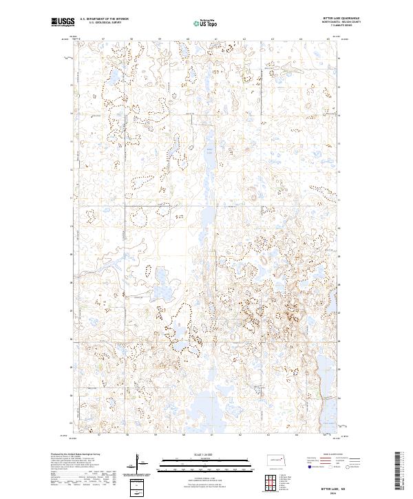
2024 Bitter Lake
Nelson County, ND
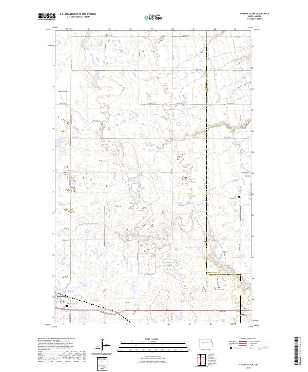
2024 Fordville SW
Nelson County, ND
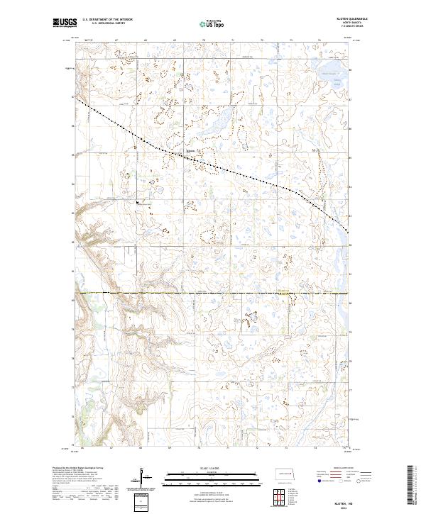
2024 Kloten
Nelson County, ND
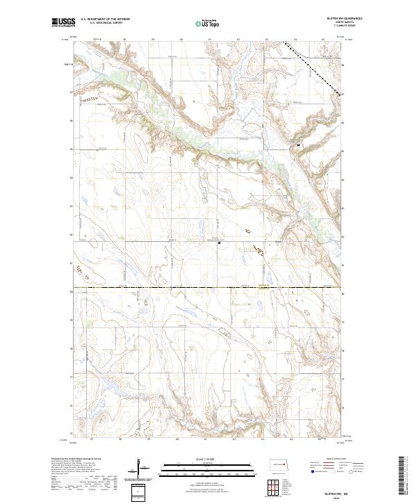
2024 Kloten NW
Nelson County, ND
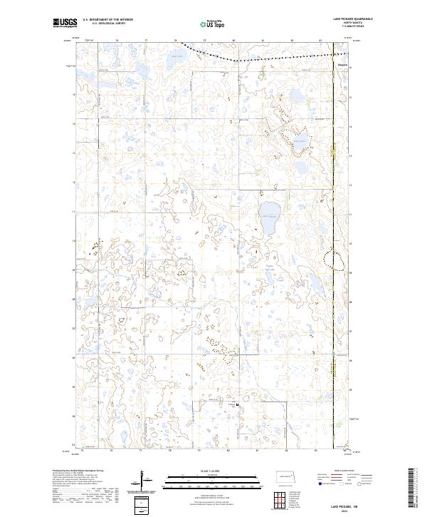
2024 Lake Pickard
Nelson County, ND
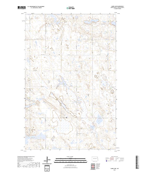
2024 Lambs Lake
Nelson County, ND
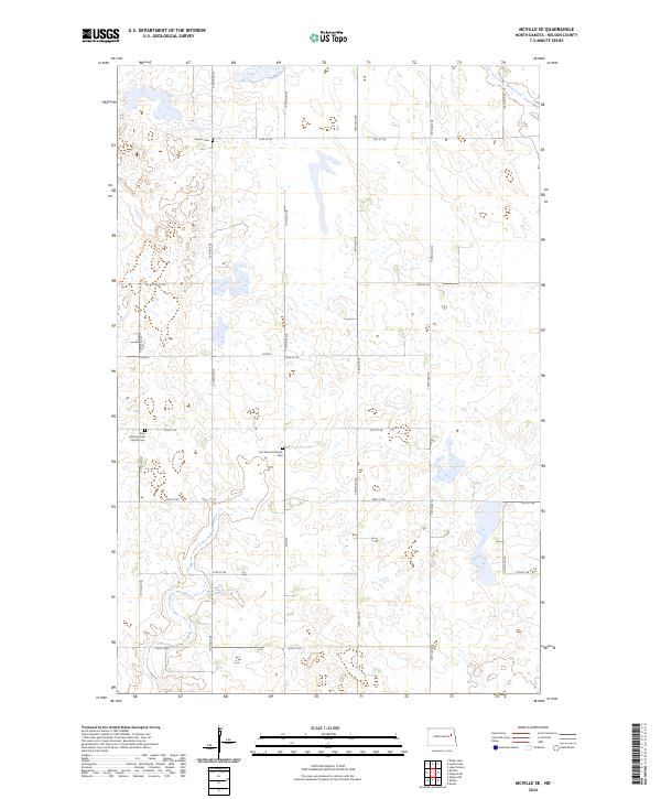
2024 McVille SE
Nelson County, ND
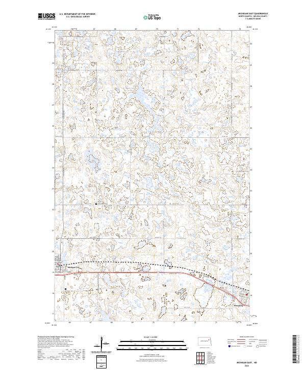
2024 Michigan East
Nelson County, ND
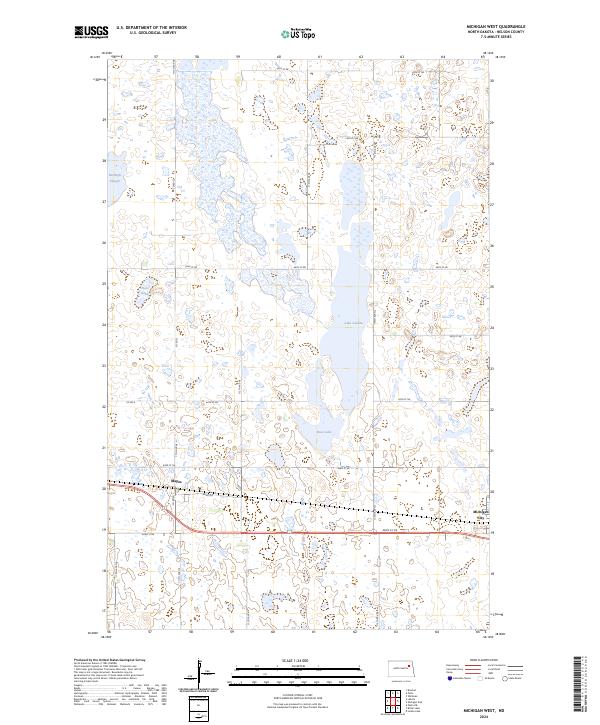
2024 Michigan West
Nelson County, ND
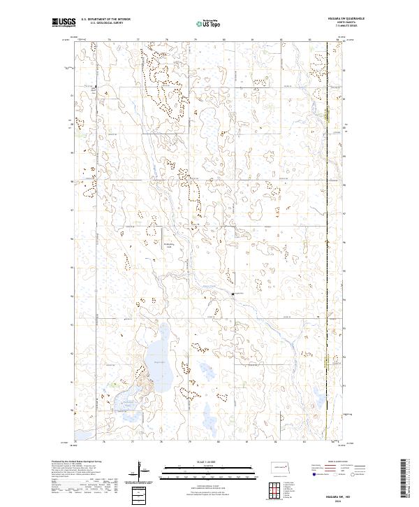
2024 Niagara SW
Nelson County, ND
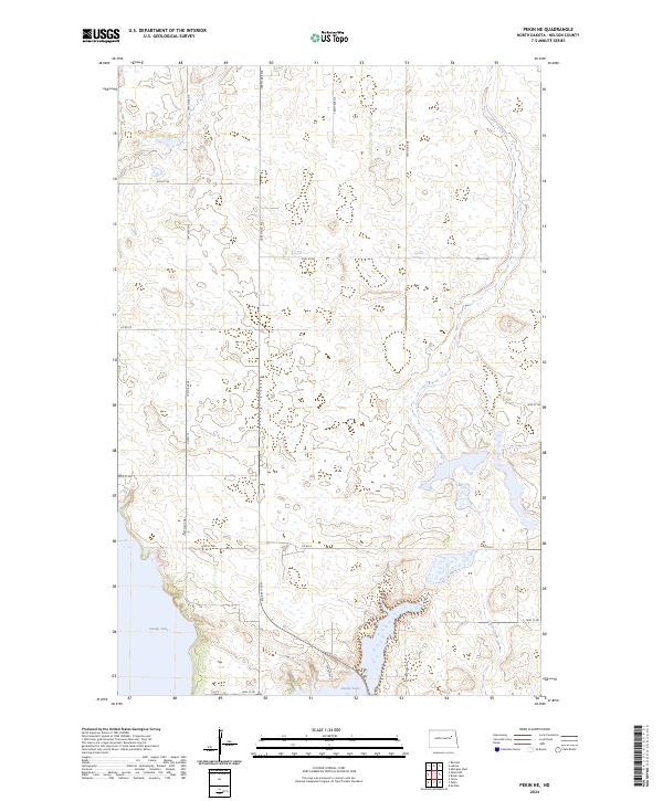
2024 Pekin NE
Nelson County, ND
2024 Pekin NW
Nelson County, ND
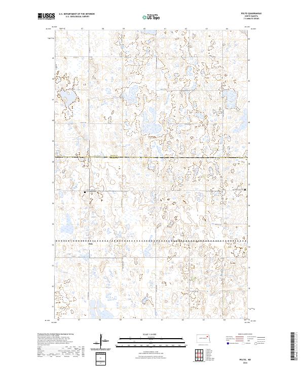
2024 Pelto
Nelson County, ND
2024 Whitman
Nelson County, ND