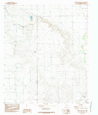
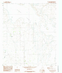
1984 Map of Mickey Draw East
USGS Topo · Published 1985About this map
Linda Lake and Dry Lake anchor the northeastern corner of this arid Hudspeth County landscape, characterized by ephemeral water drainage and scattered ranching infrastructure. The terrain is defined by the winding course of Mickey Draw and Eightmile Draw, which cut through the high desert toward man-made collection points like Melbeth Tank and Eightmile Tank. These small reservoirs were critical for livestock in a region where permanent water is scarce. Human activity is sparse but evident through industrial and logistical markers, including a small Gravel Pit, a remote Landing Strip, and a Cem that suggests a long-standing, if isolated, local presence. A Trans Line bisects the region, and several scattered Corral sites point to the enduring cattle-rearing economy that persists even in the most remote sections of the Texas borderlands during the early 1980s.
Find a feature on this map
11 named features on this map. Tap any name to fly to it.
Don’t see what you’re looking for? This feature index may not catch every label — zoom into the map to look around manually.
Map Details
Editions of this 1984 Mickey Draw East Map
This is the sole edition of this map. No revisions or reprints were ever made.
Other maps of this area

1951 · Dell City
USGS Topo · 1:62,500

1951 · Red Hills
USGS Topo · 1:62,500

1954 · Van Horn
USGS Topo · 1:250,000

1955 · Cerro Diablo
USGS Topo · 1:62,500

1955 · Black Mountains
USGS Topo · 1:62,500

1958 · Van Horn
USGS Topo · 1:250,000
1984 · Dell City
USGS Topo · 1:24,000
1984 · Mickey Draw West
USGS Topo · 1:24,000
1984 · Black Mountains NW
USGS Topo · 1:24,000
1984 · Linda Lake South
USGS Topo · 1:24,000