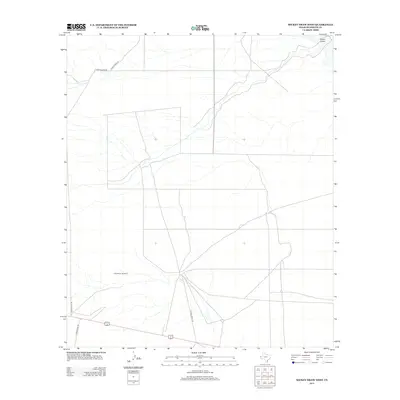
2013 Map of Mickey Draw West
USGS Topo · Published 2013About this map
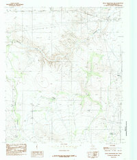
The Love-Cass Ranch area in Hudspeth County is characterized by a sparse, ranching-oriented landscape where transportation is defined by long, straight desert roads. In the southern portion of the quadrangle, Ranch Road 1111 and Sparks Ranch Rd connect distant holdings across the dry terrain. An interesting historical navigational marker, the CAA Beacon Number 6, stands near the center of the map, signaling the area's role in early aviation routing. Drainage is largely defined by Hitson Draw in the northeast, while Ranch Verde Rd provides access to the northwestern reaches. This survey provides a clear view of the infrastructure supporting large-scale West Texas land operations in the early 21st century.
Find a feature on this map
6 named features on this map. Tap any name to fly to it.
Don’t see what you’re looking for? This feature index may not catch every label — zoom into the map to look around manually.
Map Details
Editions of this 2013 Mickey Draw West Map
This is the sole edition of this map. No revisions or reprints were ever made.
Other maps of this area

1951 · Dell City
USGS Topo · 1:62,500

1951 · Red Hills
USGS Topo · 1:62,500

1954 · Van Horn
USGS Topo · 1:250,000

1955 · Cerro Diablo
USGS Topo · 1:62,500

1955 · Black Mountains
USGS Topo · 1:62,500

1958 · Van Horn
USGS Topo · 1:250,000
1984 · Dell City
USGS Topo · 1:24,000
1984 · Mickey Draw West
USGS Topo · 1:24,000
1984 · Cerro Diablo
USGS Topo · 1:24,000
1984 · Black Mountains NW
USGS Topo · 1:24,000