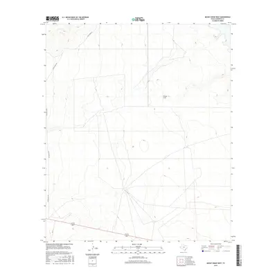
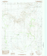
2016 Map of Mickey Draw West
USGS Topo · Published 2016About this map
Mickey Draw carves a path through this Hudspeth County landscape, defining the topography of an area dominated by expansive ranching operations in 2016. The map reveals the critical road network that sustains this West Texas region, including the north-south corridor of Fm 1111 and the winding paths of Foster Ranch Rd and Ranch Verde Rd. The sparse distribution of named features underscores the vastness of the territory, where terrain and drainage patterns like those at Mickey Draw dictate the layout of private land boundaries and ranch access. This survey serves as a modern record of the durable infrastructure and natural drainages that have supported the livestock industry in this portion of the Chihuahuan Desert for generations.
Find a feature on this map
4 named features on this map. Tap any name to fly to it.
Don’t see what you’re looking for? This feature index may not catch every label — zoom into the map to look around manually.
Map Details
Editions of this 2016 Mickey Draw West Map
This is the sole edition of this map. No revisions or reprints were ever made.
Other maps of this area

1951 · Dell City
USGS Topo · 1:62,500

1951 · Red Hills
USGS Topo · 1:62,500

1954 · Van Horn
USGS Topo · 1:250,000

1955 · Cerro Diablo
USGS Topo · 1:62,500

1955 · Black Mountains
USGS Topo · 1:62,500

1958 · Van Horn
USGS Topo · 1:250,000
1984 · Dell City
USGS Topo · 1:24,000
1984 · Mickey Draw West
USGS Topo · 1:24,000
1984 · Cerro Diablo
USGS Topo · 1:24,000
1984 · Black Mountains NW
USGS Topo · 1:24,000