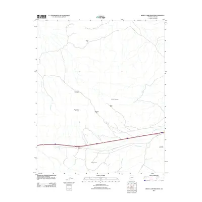
2011 Map of Middle Camp Mountain
USGS Topo · Published 2011About this map
Middle Camp Mountain and the surrounding Dome Rock Mountains dominate this arid landscape in La Paz County, defined by a complex network of dry washes and high-desert passes. The terrain is structured by a series of significant drainage systems, including Seventy Wash, Gonzales Wash, and La Cholla Wash, which carve through the stony elevations. Evidence of historical travel and land use is found at Marquitta Pass, Diablo Pass, and the Oldman Tanque, a site suggesting the importance of water storage in this parched environment.
Find a feature on this map
16 named features on this map. Tap any name to fly to it.
Don’t see what you’re looking for? This feature index may not catch every label — zoom into the map to look around manually.
Map Details
Editions of this 2011 Middle Camp Mountain Map
This is the sole edition of this map. No revisions or reprints were ever made.
Other maps of this area

1930 · Linskey
USGS Topo · 1:62,500

1931 · Moon Mtn
USGS Topo · 1:62,500

1932 · Moon Mtn
USGS Topo · 1:62,500

1933 · Cunningham Mtn
USGS Topo · 1:48,000

1940 · Dome Rock Mts
USGS Topo · 1:62,500

1942 · Blythe
USGS Topo · 1:250,000

1942 · MOON MTN
USGS Topo · 1:62,500

1954 · Salton Sea
USGS Topo · 1:250,000

1955 · Salton Sea
USGS Topo · 1:250,000
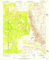
1955 · Moon Mtn
USGS Topo · 1:24,000