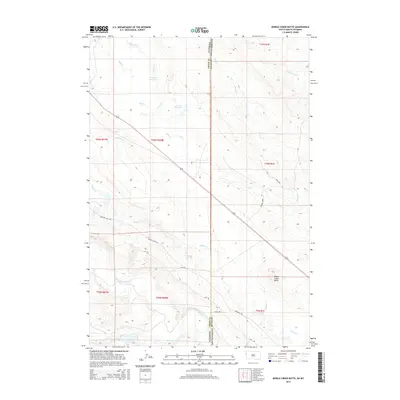
2015 Map of Middle Creek Butte
USGS Topo · Published 2015About this map
The Belle Fourche River sweeps through the southern portion of this landscape where the high plains of South Dakota meet the Wyoming border. The terrain is defined by a network of seasonal drainages including Crow Cr, Ghost Cr, and Middle Cr, which converge near the prominent landform of Middle Creek Butte. This area serves as a transition between the grazing lands and the industrial transport corridors of the region.
Find a feature on this map
26 named features on this map. Tap any name to fly to it.
Don’t see what you’re looking for? This feature index may not catch every label — zoom into the map to look around manually.
Map Details
Editions of this 2015 Middle Creek Butte Map
This is the sole edition of this map. No revisions or reprints were ever made.
Other maps of this area

1901 · Aladdin
USGS Topo · 1:125,000

1903 · Aladdin
USGS Topo · 1:125,000

1905 · Indian
USGS Topo · 1:62,500

1907 · Belle Fourche
USGS Topo · 1:125,000

1907 · Redwater
USGS Topo · 1:62,500

1953 · Rapid City
USGS Topo · 1:250,000

1954 · The Forks
USGS Topo · 1:24,000

1954 · Gillette
USGS Topo · 1:250,000

1955 · Gillette
USGS Topo · 1:250,000

1957 · Rapid City
USGS Topo · 1:250,000