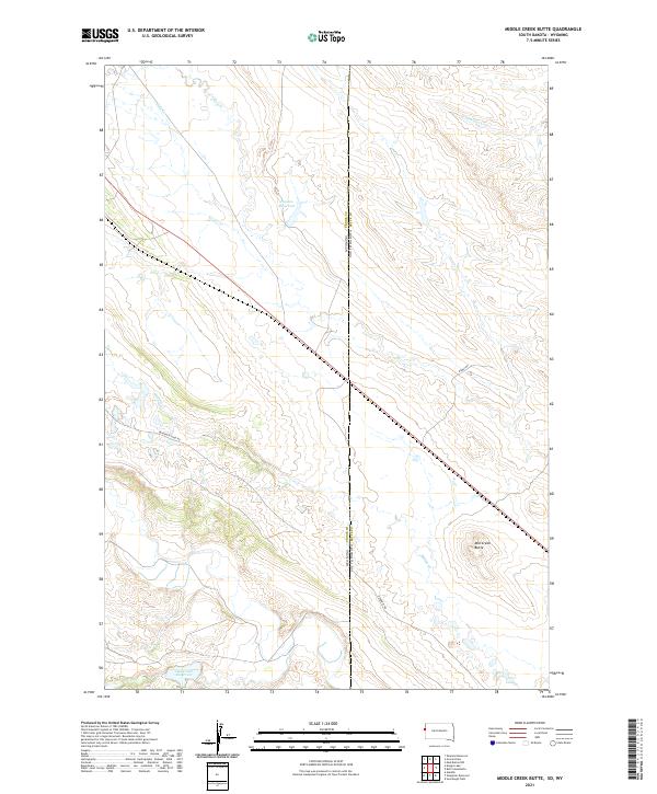
2021 Map of Middle Creek Butte
USGS Topo · Published 2021About this map
The high plains of the Wyoming Crook Co South Dakota Butte Co border are defined by a sparse network of industrial roads and ephemeral water sources. The landscape is dominated by heavy equipment routes like the Bentonite Haul Rd and Benonite Rd, signaling the importance of mineral extraction in this arid region. These tracks cross a terrain shaped by the drainages of Middle Cr, Crow Cr, and the S Fork Owl Cr, where seasonal water is managed through sites like the Oak Creek Reservoir and Havens Reservoir. The eponymous Mid Creek Butte serves as a prominent natural landmark in a territory primarily organized by the Public Land Survey System, with township lines clearly marking the transition between Crook County, Wyoming, and Butte County, South Dakota.
Find a feature on this map
17 named features on this map. Tap any name to fly to it.
Don’t see what you’re looking for? This feature index may not catch every label — zoom into the map to look around manually.
Map Details
Editions of this 2021 Middle Creek Butte Map
This is the sole edition of this map. No revisions or reprints were ever made.
Other maps of this area

1901 · Aladdin
USGS Topo · 1:125,000

1903 · Aladdin
USGS Topo · 1:125,000

1905 · Indian
USGS Topo · 1:62,500

1907 · Belle Fourche
USGS Topo · 1:125,000

1907 · Redwater
USGS Topo · 1:62,500

1953 · Rapid City
USGS Topo · 1:250,000

1954 · The Forks
USGS Topo · 1:24,000

1954 · Gillette
USGS Topo · 1:250,000

1955 · Gillette
USGS Topo · 1:250,000

1957 · Rapid City
USGS Topo · 1:250,000