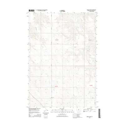
2015 Map of Middle Draw
USGS Topo · Published 2015About this map
Tornado Ranch sits within this expansive section of Haakon County, where the high plains are carved by an intricate network of ephemeral watercourses. The landscape is defined by the namesake Middle Draw and several vital drainage branches including Long Br, Linton Br, and Deer Cr. These features illustrate the natural catchment system of the South Dakota prairie, where seasonal water flow dictated the placement of ranching infrastructure and local transit routes.
Find a feature on this map
18 named features on this map. Tap any name to fly to it.
Don’t see what you’re looking for? This feature index may not catch every label — zoom into the map to look around manually.
Map Details
Editions of this 2015 Middle Draw Map
This is the sole edition of this map. No revisions or reprints were ever made.
Other maps of this area

1954 · Pierre
USGS Topo · 1:250,000

1955 · Rattlesnake Lake SE
USGS Topo · 1:24,000

1956 · Kirley
USGS Topo · 1:24,000

1956 · Cherry Creek
USGS Topo · 1:24,000

1958 · Pierre
USGS Topo · 1:250,000

1983 · Mule Creek
USGS Topo · 1:24,000

1983 · Philip
USGS Topo · 1:100,000

1983 · Moenville
USGS Topo · 1:24,000

1983 · Middle Draw
USGS Topo · 1:24,000

1983 · Tornado Ranch
USGS Topo · 1:24,000