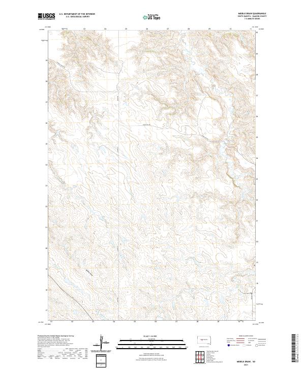
2021 Map of Middle Draw
USGS Topo · Published 2021About this map
Plum Cr and Crooked Cr carve a network of drainages across this West River landscape in Haakon County. The topography is defined by the eponymous Middle Draw and seasonal watercourses like Long Br, Shanty Cr, and Deer Cr, which indicate a terrain shaped by erosion and intermittent flow. This 2021 survey illustrates a sparsely populated ranching environment where the land is primarily organized by the Public Land Survey System, specifically sections within t6n r22e, t6n r23e, t5n r22e, and t5n r23e.
Find a feature on this map
14 named features on this map. Tap any name to fly to it.
Don’t see what you’re looking for? This feature index may not catch every label — zoom into the map to look around manually.
Map Details
Editions of this 2021 Middle Draw Map
This is the sole edition of this map. No revisions or reprints were ever made.
Other maps of this area

1954 · Pierre
USGS Topo · 1:250,000

1955 · Rattlesnake Lake SE
USGS Topo · 1:24,000

1956 · Kirley
USGS Topo · 1:24,000

1956 · Cherry Creek
USGS Topo · 1:24,000

1958 · Pierre
USGS Topo · 1:250,000

1983 · Mule Creek
USGS Topo · 1:24,000

1983 · Philip
USGS Topo · 1:100,000

1983 · Moenville
USGS Topo · 1:24,000

1983 · Middle Draw
USGS Topo · 1:24,000

1983 · Tornado Ranch
USGS Topo · 1:24,000