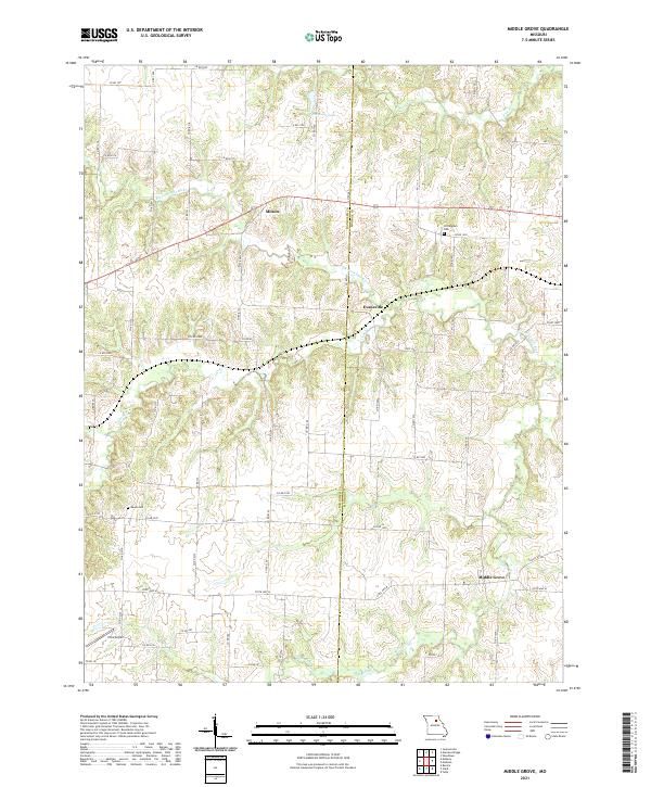
2021 Map of Middle Grove
USGS Topo · Published 2021About this map
Middle Grove and the surrounding rural landscape of Monroe and Randolph Counties are defined by the meandering drainage of the Elk Fork Salt River and its numerous tributaries. This modern survey illustrates a quiet agricultural region where small settlements like Milton and Evansville serve as local anchors along a network of county roads. The terrain is deeply etched by waterways such as Coon Cr, Milligan Cr, and Galbreath Cr, which create a complex pattern of ridges and valleys typical of this part of Missouri. Genealogists will find point data for local history at the Cottingham Cem and Meals Cem. While primarily rural, the presence of the Irons Airport and man-made features like Johnson Lake show the intersection of local transportation and recreation in the early 21st century.
Find a feature on this map
67 named features on this map. Tap any name to fly to it.
Don’t see what you’re looking for? This feature index may not catch every label — zoom into the map to look around manually.
Map Details
Editions of this 2021 Middle Grove Map
This is the sole edition of this map. No revisions or reprints were ever made.
Other maps of this area

1890 · Moberly
USGS Topo · 1:125,000
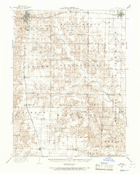
1908 · Macon
USGS Topo · 1:62,500
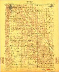
1910 · Macon
USGS Topo · 1:62,500
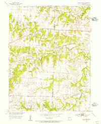
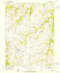
1952 · Middle Grove
USGS Topo · 1:24,000

1953 · Moberly
USGS Topo · 1:250,000
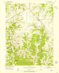
1953 · Renick
USGS Topo · 1:24,000
1953 · Clark
USGS Topo · 1:24,000
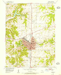
1953 · Moberly
USGS Topo · 1:24,000

1954 · Moberly
USGS Topo · 1:250,000

1957 · Moberly
USGS Topo · 1:250,000