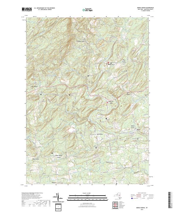
2023 Map of Middle Grove
USGS Topo · Published 2023About this map
Kayaderosseras Creek winds through the heart of this landscape, anchoring a series of small settlements including Middle Grove and Rock City Falls. The area is marked by a dense distribution of family and community burial grounds, such as Frink - Hoyt Cem and Cornell Howard Cem, reflecting a long history of local habitation. To the south, the Glowegee Creek valley passes through West Milton, near the Us HWY Reservation Atomic Project. This military presence sits alongside established rural communities like East Galway and Milton Center. The terrain is defined by distinct landmarks such as Baptist Hill and Hyspot, while the road network connects historic crossroads like Chatfield Corner and Pages Corner. The number of cemeteries and small hamlets makes this a critical document for tracing 21st-century property boundaries and community legacy in Saratoga County.
Find a feature on this map
116 named features on this map. Tap any name to fly to it.
Don’t see what you’re looking for? This feature index may not catch every label — zoom into the map to look around manually.
Map Details
Editions of this 2023 Middle Grove Map
This is the sole edition of this map. No revisions or reprints were ever made.
Other maps of this area

1893 · Schenectady
USGS Topo · 1:62,500

1895 · Schenectady
USGS Topo · 1:62,500

1895 · Amsterdam
USGS Topo · 1:62,500

1898 · Schenectady
USGS Topo · 1:62,500

1899 · Broadalbin
USGS Topo · 1:62,500

1902 · Broadalbin
USGS Topo · 1:62,500

1902 · Saratoga
USGS Topo · 1:62,500

1930 · Schenectady
USGS Topo · 1:62,500

1931 · Amsterdam
USGS Topo · 1:62,500

1934 · Saratoga Springs
USGS Topo · 1:24,000