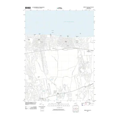
2010 Map of Middle Island
USGS Topo · Published 2010About this map
Long Island Sound borders this northern reach of Suffolk County, where a series of landings and beaches like Woodhull Landing and Scotts Beach define the coastline. Moving inland from the shore, the suburban expansion of Miller Place, Rocky Point, and Shoreham is evident, characterized by dense residential street grids that give way to the more open landscapes of the central island. This transition is marked by landmarks such as the Tall Tree Golf Course and the expansive Washington Memorial Park.
Find a feature on this map
57 named features on this map. Tap any name to fly to it.
Don’t see what you’re looking for? This feature index may not catch every label — zoom into the map to look around manually.
Map Details
Editions of this 2010 Middle Island Map
This is the sole edition of this map. No revisions or reprints were ever made.
Other maps of this area

1891 · Bridgeport
USGS Topo · 1:62,500

1893 · Bridgeport
USGS Topo · 1:62,500

1902 · Setauket
USGS Topo · 1:62,500

1904 · Setauket
USGS Topo · 1:62,500

1904 · Islip
USGS Topo · 1:125,000

1904 · Moriches
USGS Topo · 1:62,500

1919 · Setauket
USGS Topo · 1:62,500

1920 · Bridgeport
USGS Topo · 1:62,500

1942 · Islip
USGS Topo · 1:125,000

1947 · Bellport
USGS Topo · 1:24,000