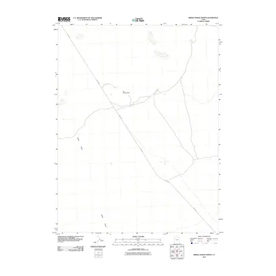
2010 Map of Middle Range North
USGS Topo · Published 2010About this map
The Honeycombs stands as a distinct geological formation within the arid landscape of Juab County, marking a localized area of complex topography. This 2010 survey by the U.S. Geological Survey documents the sparse infrastructure of the region, where the primary transport artery is the Weiss Hwy, which cuts diagonally across the desert floor. The map highlights the isolation of the Middle Range, a prominent chain of hills that anchors the western portion of this quadrangle. Because the area remains largely undeveloped, the map serves as a precise record of the natural terrain and the few improved routes that connect this remote section of Utah to the surrounding basin.
Find a feature on this map
3 named features on this map. Tap any name to fly to it.
Don’t see what you’re looking for? This feature index may not catch every label — zoom into the map to look around manually.
Map Details
Editions of this 2010 Middle Range North Map
This is the sole edition of this map. No revisions or reprints were ever made.
Other maps of this area

1908 · Fish Springs
USGS Topo · 1:250,000

1910 · Fish Springs
USGS Topo · 1:250,000

1953 · Delta
USGS Topo · 1:250,000

1958 · Delta
USGS Topo · 1:250,000

1960 · Granite Mountain
USGS Topo · 1:62,500

1962 · Delta
USGS Topo · 1:250,000

1967 · Sand Pass
USGS Topo · 1:24,000

1967 · Sand Pass NW
USGS Topo · 1:24,000
1967 · Fish Springs SW
USGS Topo · 1:24,000

1972 · Mud Lake Reservoir
USGS Topo · 1:24,000