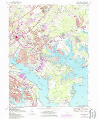
1969 Map of Middle River
USGS Topo · Published 1986About this map
Middle River Neck defines the landscape of this 1960s Baltimore County survey, where the dense suburban expansion of Essex and Middle River meets the intricate tidal fingers of the Chesapeake Bay. The geography is shaped by the aviation and defense industries of the era, anchored by the Martin State Airport and the Air National Guard facilities. The map reveals a transition from industrial activity, seen in the Claypits near Poplar, to residential enclaves like Victory Villa and Aero Acres.
Find a feature on this map
118 named features on this map. Tap any name to fly to it.
Don’t see what you’re looking for? This feature index may not catch every label — zoom into the map to look around manually.
Map Details
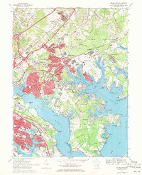
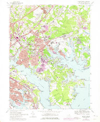
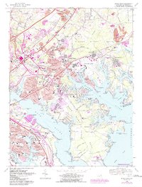
Editions of this 1969 Middle River Map
4 editions found
Other maps of this area

1893 · North Point
USGS Topo · 1:62,500

1893 · Gunpowder
USGS Topo · 1:62,500

1894 · Baltimore
USGS Topo · 1:62,500

1894 · Relay
USGS Topo · 1:62,500

1898 · Tolchester
USGS Topo · 1:125,000

1899 · Baltimore
USGS Topo · 1:62,500

1901 · Gunpowder
USGS Topo · 1:62,500

1903 · Tolchester
USGS Topo · 1:125,000

1904 · Baltimore
USGS Topo · 1:62,500

1904 · North Point
USGS Topo · 1:62,500