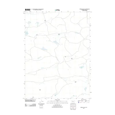
2011 Map of Middle Valley
USGS Topo · Published 2011About this map
Middle Valley characterizes the quiet landscape of Grant County, where the Sandhills terrain is defined by wide basins and isolated ranching outposts. This 2011 survey illustrates a sparse network of local roads such as Simpson Ln and Pheasant Ln that connect established family operations like Hebbert Ranch and Simpson Ranch. The geography is marked by a series of distinct depressions, including Vinton Valley and Snyder Valley, which cradle small, seasonal bodies of water such as Spring Valley Lake and Claw Hammer Lake. These water sources and valleys are critical to the cattle-raising economy of the region. The map provides a clear look at the large property holdings of the era, from Vinton Ranch in the east to the Drake Valley area in the south, reflecting the enduring rural character of western Nebraska.
Find a feature on this map
17 named features on this map. Tap any name to fly to it.
Don’t see what you’re looking for? This feature index may not catch every label — zoom into the map to look around manually.
Map Details
Editions of this 2011 Middle Valley Map
This is the sole edition of this map. No revisions or reprints were ever made.
Other maps of this area

1948 · Carr Lake
USGS Topo · 1:62,500

1948 · Spring Valley
USGS Topo · 1:62,500

1949 · Arthur
USGS Topo · 1:62,500

1949 · Flats
USGS Topo · 1:62,500

1950 · Flats
USGS Topo · 1:62,500

1950 · Spring Valley
USGS Topo · 1:62,500

1950 · Carr Lake
USGS Topo · 1:62,500

1950 · Arthur
USGS Topo · 1:62,500

1954 · North Platte
USGS Topo · 1:250,000

1956 · North Platte
USGS Topo · 1:250,000