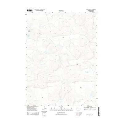
2014 Map of Middle Valley
USGS Topo · Published 2014About this map
The Nebraska Sandhills landscape of Grant County is defined here by a series of northwest-to-southeast trending depressions, including Middle Valley, Vinton Valley, and Snyder Valley. These topographic lows often cradle small water bodies such as Spring Valley Lake and the oddly named Claw-Hammer Lake, which are characteristic of the region’s high water table and porous soils. The map reveals a sparsely populated ranching environment where movement is dictated by the terrain, evidenced by the lone named thoroughfare, Snyder Ln. This 2014 survey documents the enduring physical character of the high plains, where named features like Drake Valley and Cogill Lake serve as primary landmarks in an otherwise vast, undulating grassland. Local history and genealogy researchers can use these named valleys and lakes to pinpoint specific rangelands and homestead locations in a region where traditional town centers are distant.
Find a feature on this map
10 named features on this map. Tap any name to fly to it.
Don’t see what you’re looking for? This feature index may not catch every label — zoom into the map to look around manually.
Map Details
Editions of this 2014 Middle Valley Map
This is the sole edition of this map. No revisions or reprints were ever made.
Other maps of this area

1948 · Carr Lake
USGS Topo · 1:62,500

1948 · Spring Valley
USGS Topo · 1:62,500

1949 · Arthur
USGS Topo · 1:62,500

1949 · Flats
USGS Topo · 1:62,500

1950 · Flats
USGS Topo · 1:62,500

1950 · Spring Valley
USGS Topo · 1:62,500

1950 · Carr Lake
USGS Topo · 1:62,500

1950 · Arthur
USGS Topo · 1:62,500

1954 · North Platte
USGS Topo · 1:250,000

1956 · North Platte
USGS Topo · 1:250,000