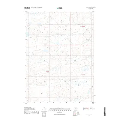
2017 Map of Middle Valley
USGS Topo · Published 2017About this map
Middle Valley and its surrounding depressions define this pocket of the Nebraska Sandhills, where water tables frequently meet the surface to form a network of seasonal and permanent lakes. The landscape is characterized by its internal drainage, with named basins such as Spring Valley and Snyder Valley serving as localized hubs for the region's ranching activity. Notable water bodies include Egan Lake and Spring Valley Lake in the northwest, while the southern reaches feature the curiously named Claw Hammer Lake. Human presence is mapped through a sparse network of section-line roads and tracks like Simpson Ln and Pheasant Ln. These routes connect remote grazing lands across the township boundaries of T22N and T21N, reflecting the vast, open-range character of Grant County. The map provides a detailed view of the complex topography and hydrology essential for navigating and managing this semi-arid environment.
Find a feature on this map
19 named features on this map. Tap any name to fly to it.
Don’t see what you’re looking for? This feature index may not catch every label — zoom into the map to look around manually.
Map Details
Editions of this 2017 Middle Valley Map
This is the sole edition of this map. No revisions or reprints were ever made.
Other maps of this area

1948 · Carr Lake
USGS Topo · 1:62,500

1948 · Spring Valley
USGS Topo · 1:62,500

1949 · Arthur
USGS Topo · 1:62,500

1949 · Flats
USGS Topo · 1:62,500

1950 · Flats
USGS Topo · 1:62,500

1950 · Spring Valley
USGS Topo · 1:62,500

1950 · Carr Lake
USGS Topo · 1:62,500

1950 · Arthur
USGS Topo · 1:62,500

1954 · North Platte
USGS Topo · 1:250,000

1956 · North Platte
USGS Topo · 1:250,000