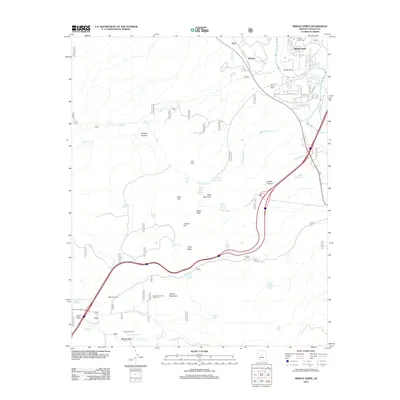
2012 Map of Middle Verde
USGS Topo · Published 2012About this map
The Verde River corridor anchors this portion of Yavapai County, where the settlement of Middle Verde and the Middle Verde Cem reveal the historical roots of the area. The landscape is defined by the transition from riverine lowlands to the higher elevations of the Black Hills, marked by seasonal water sources and ranching infrastructure. Vital water management features like the Eureka Ditch and numerous livestock-related landmarks, such as Bates Windmill, Grassy Mountain Windmill, and Copper Corral, highlight the area's agricultural and pastoral legacy. To the south, the Flower Pot Ranch sits near the namesake Flower Pot and Flowerpot Tank, while the terrain rises toward Table Mountain and Grassy Mountain. Transport through the region follows old routes like Old Hwy 279, connecting small clusters of development like Aultman to the surrounding canyons and mesas.
Find a feature on this map
53 named features on this map. Tap any name to fly to it.
Don’t see what you’re looking for? This feature index may not catch every label — zoom into the map to look around manually.
Map Details
Editions of this 2012 Middle Verde Map
This is the sole edition of this map. No revisions or reprints were ever made.
Other maps of this area

1887 · Verde
USGS Topo · 1:250,000

1887 · Prescott
USGS Topo · 1:250,000

1892 · Verde
USGS Topo · 1:250,000

1892 · Prescott
USGS Topo · 1:250,000

1903 · Bradshaw Mountains
USGS Topo · 1:125,000

1905 · Jerome
USGS Topo · 1:125,000

1923 · Camp Verde
USGS Topo · 1:125,000

1929 · Turret Peak
USGS Topo · 1:125,000

1932 · Camp Verde
USGS Topo · 1:125,000

1933 · Turret Peak
USGS Topo · 1:125,000