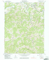
1960 Map of Middlebourne
USGS Topo · Published 1985About this map
Middle Island Creek winds dramatically through this portion of Tyler County, creating the distinctive horseshoe bend known as The Jug near Middlebourne. This area, surveyed in 1960, reflects a landscape deeply tied to the natural resource economy of West Virginia, marked by numerous Oil Wells and a network of Pipelines traversing the ridgelines. The settlement pattern follows the narrow creek valleys and elevated ridges, with small communities like Bearsville, Wick, and Meadville serving as local anchors.
Find a feature on this map
48 named features on this map. Tap any name to fly to it.
Don’t see what you’re looking for? This feature index may not catch every label — zoom into the map to look around manually.
Map Details
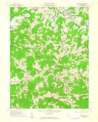
Editions of this 1960 Middlebourne Map
2 editions found
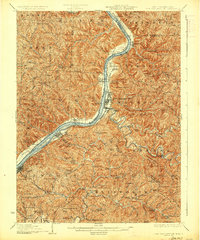
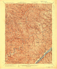
Other maps of this area

1905 · West Union
USGS Topo · 1:62,500

1905 · New Matamoras
USGS Topo · 1:62,500

1906 · Saint Marys
USGS Topo · 1:62,500

1906 · New Martinsville
USGS Topo · 1:62,500

1924 · St Marys
USGS Topo · 1:62,500

1924 · New Martinsville
USGS Topo · 1:62,500

1924 · New Matamoras
USGS Topo · 1:62,500

1924 · West Union
USGS Topo · 1:62,500
1926 · New Martinsville
USGS Topo · 1:62,500
1926 · New Matamoras
USGS Topo · 1:62,500