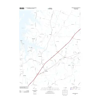
2013 Map of Middleburg
USGS Topo · Published 2013About this map
The John H. Kerr Reservoir defines the western edge of this Vance County landscape, where the shoreline is marked by local landmarks like Satterwhite Point and the Tarheel Marina. Moving inland from the water, the terrain is characterized by a network of small creeks including Fishing Cr and Smith Cr, which weave through a series of rural crossroads and established communities. The town of Middleburg and the community of Manson sit along the primary transit corridor, while the planned community of Soul City is situated to the east near Peetes Pond. This area reflects a quiet rural character punctuated by these distinct residential pockets and localized recreational hubs like Flemington Road Marina, providing a detailed view of the region's mid-2010s geography.
Find a feature on this map
116 named features on this map. Tap any name to fly to it.
Don’t see what you’re looking for? This feature index may not catch every label — zoom into the map to look around manually.
Map Details
Editions of this 2013 Middleburg Map
This is the sole edition of this map. No revisions or reprints were ever made.
Other maps of this area

1953 · Greensboro
USGS Topo · 1:250,000

1954 · Greensboro
USGS Topo · 1:250,000

1955 · Boydton
USGS Topo · 1:62,500

1962 · Greensboro
USGS Topo · 1:250,000

1966 · Greensboro
USGS Topo · 1:250,000

1968 · Bracey
USGS Topo · 1:24,000
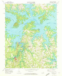
1968 · Tungsten
USGS Topo · 1:24,000

1968 · John H Kerr Dam
USGS Topo · 1:24,000

1970 · Vicksboro
USGS Topo · 1:24,000
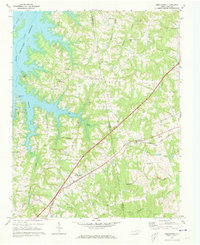
1970 · Middleburg
USGS Topo · 1:24,000