
1968 Map of John H Kerr Dam
USGS Topo · Published 1972About this map
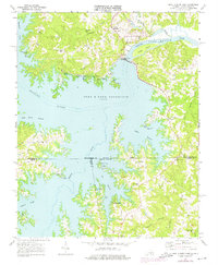
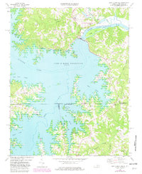
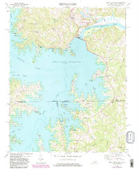
The John H Kerr Dam stands as the central engineering feat of this landscape, impounding the Roanoke River to create the expansive John H Kerr Reservoir and the adjacent Lake Gaston. This 1960s-era topography reveals a transition from traditional agrarian settlements to a recreation-oriented waterfront, evidenced by the numerous public facilities like the Kimball Point Public Use Area and Hibernia Public Use Area.
Find a feature on this map
49 named features on this map. Tap any name to fly to it.
Don’t see what you’re looking for? This feature index may not catch every label — zoom into the map to look around manually.
Map Details
Editions of this 1968 John H Kerr Dam Map
4 editions found
Other maps of this area

1953 · Greensboro
USGS Topo · 1:250,000

1954 · Greensboro
USGS Topo · 1:250,000

1955 · Boydton
USGS Topo · 1:62,500

1962 · Greensboro
USGS Topo · 1:250,000

1966 · Greensboro
USGS Topo · 1:250,000

1968 · Bracey
USGS Topo · 1:24,000
1968 · Tungsten
USGS Topo · 1:24,000
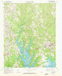
1968 · Boydton
USGS Topo · 1:24,000
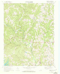
1968 · Baskerville
USGS Topo · 1:24,000
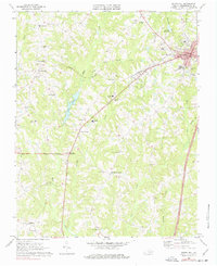
1968 · South Hill
USGS Topo · 1:24,000