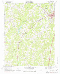
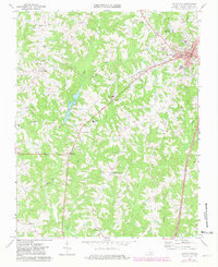
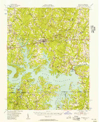
1968 Map of South Hill
USGS Topo · Published 1977About this map
The town of South Hill serves as the focal point of this Mecklenburg County landscape, situated at the intersection of significant transit corridors during the late 1960s. The Norfolk And Danville railroad cuts a diagonal line across the terrain, passing landmarks like the South Hill Airfield and the Drive-in Theater. Beyond the town center, the map reveals a rural economy organized around crossroads and country parishes, with scattered settlements such as Union Level and Lombardy Grove providing local structure.
Find a feature on this map
48 named features on this map. Tap any name to fly to it.
Don’t see what you’re looking for? This feature index may not catch every label — zoom into the map to look around manually.
Map Details
Editions of this 1968 South Hill Map
2 editions found
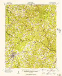
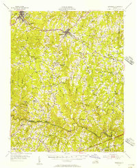
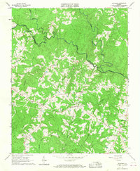
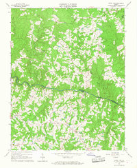
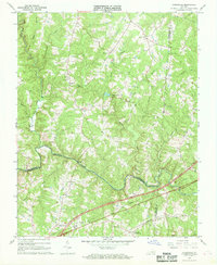
Other maps of this area

1953 · Greensboro
USGS Topo · 1:250,000

1954 · Greensboro
USGS Topo · 1:250,000
1955 · Chase City
USGS Topo · 1:62,500
1955 · Kenbridge
USGS Topo · 1:62,500
1955 · Boydton
USGS Topo · 1:62,500

1962 · Greensboro
USGS Topo · 1:250,000

1966 · Greensboro
USGS Topo · 1:250,000
1966 · Wightman
USGS Topo · 1:24,000
1966 · North View
USGS Topo · 1:24,000
1966 · Forksville
USGS Topo · 1:24,000