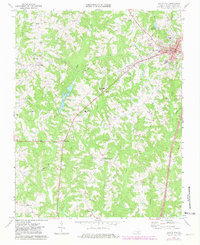
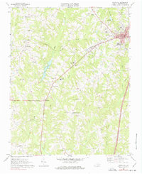
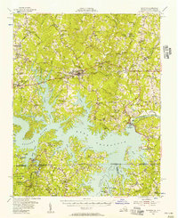
1968 Map of South Hill
USGS Topo · Published 1981About this map
South Hill serves as the regional hub in this Southern Virginia landscape, where the Norfolk And Danville rail line cuts a diagonal path toward the town's industrial and civic center. The map reflects a mid-century community structured around rural intersections and crossroads, with Smiths Crossroads and Union Level anchoring the surrounding countryside. Educational and social foundations are deeply mapped, showing several segregated-era landmarks like the Park View High Sch and East End High Sch, alongside numerous country churches including Lombardy Grove Ch and Hayes Grove Ch.
Find a feature on this map
45 named features on this map. Tap any name to fly to it.
Don’t see what you’re looking for? This feature index may not catch every label — zoom into the map to look around manually.
Map Details
Editions of this 1968 South Hill Map
2 editions found
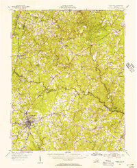
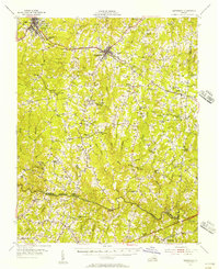
Other maps of this area

1953 · Greensboro
USGS Topo · 1:250,000

1954 · Greensboro
USGS Topo · 1:250,000
1955 · Chase City
USGS Topo · 1:62,500
1955 · Kenbridge
USGS Topo · 1:62,500
1955 · Boydton
USGS Topo · 1:62,500

1962 · Greensboro
USGS Topo · 1:250,000

1966 · Greensboro
USGS Topo · 1:250,000
1966 · Wightman
USGS Topo · 1:24,000
1966 · North View
USGS Topo · 1:24,000
1966 · Forksville
USGS Topo · 1:24,000