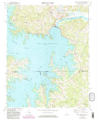
1968 Map of John H Kerr Dam
USGS Topo · Published 1981About this map
John H Kerr Dam anchors this landscape at the confluence of the Roanoke River and Lake Gaston, where the massive John H Kerr Reservoir dominates the border between Virginia and North Carolina. The map captures a transition toward recreation and water management, evidenced by the numerous public use areas like Henderson Point and North Bend, along with a prominent powerplant and gaging station.
Find a feature on this map
56 named features on this map. Tap any name to fly to it.
Don’t see what you’re looking for? This feature index may not catch every label — zoom into the map to look around manually.
Map Details
Editions of this 1968 John H Kerr Dam Map
4 editions found
Other maps of this area

1953 · Greensboro
USGS Topo · 1:250,000

1954 · Greensboro
USGS Topo · 1:250,000

1955 · Boydton
USGS Topo · 1:62,500

1962 · Greensboro
USGS Topo · 1:250,000

1966 · Greensboro
USGS Topo · 1:250,000

1968 · Bracey
USGS Topo · 1:24,000
1968 · Tungsten
USGS Topo · 1:24,000

1968 · John H Kerr Dam
USGS Topo · 1:24,000
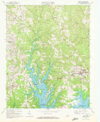
1968 · Boydton
USGS Topo · 1:24,000
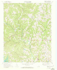
1968 · Baskerville
USGS Topo · 1:24,000