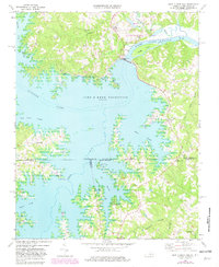
1968 Map of John H Kerr Dam
USGS Topo · Published 1981About this map
John H Kerr Dam controls the flow of the Roanoke River along the border of Virginia and North Carolina, creating the expansive John H Kerr Reservoir. This 1981 revision reflects the extensive recreational infrastructure of the late 20th century, including the North Bend Public Use Area, Kimball Point Public Use Area, and several boat ramps that serve the flooded valley. Despite the dominance of the reservoir, the map preserves the locations of older communities and spiritual landmarks such as Cusco Willa, Keats, Shiloh Ch, and Lands Chapel. To the north, the Elm Hill State Game Management Area occupies the land between the river and Kettles Creek, while the presence of an old Railroad Grade and the Allen Grade hint at the area's former terrestrial transport networks before the valley was inundated.
Find a feature on this map
50 named features on this map. Tap any name to fly to it.
Don’t see what you’re looking for? This feature index may not catch every label — zoom into the map to look around manually.
Map Details
Editions of this 1968 John H Kerr Dam Map
4 editions found
Other maps of this area

1953 · Greensboro
USGS Topo · 1:250,000

1954 · Greensboro
USGS Topo · 1:250,000

1955 · Boydton
USGS Topo · 1:62,500

1962 · Greensboro
USGS Topo · 1:250,000

1966 · Greensboro
USGS Topo · 1:250,000

1968 · Bracey
USGS Topo · 1:24,000
1968 · Tungsten
USGS Topo · 1:24,000

1968 · John H Kerr Dam
USGS Topo · 1:24,000
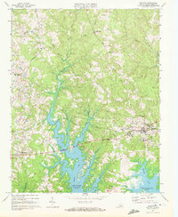
1968 · Boydton
USGS Topo · 1:24,000
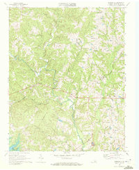
1968 · Baskerville
USGS Topo · 1:24,000