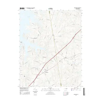
2016 Map of Middleburg
USGS Topo · Published 2016About this map
Middleburg and the planned community of Soul City anchor this portion of Vance and Warren counties, situated along a primary transportation corridor defined by the crossing of major highways. The landscape is a mix of agricultural fields and woodlands, drained by tributaries like Dix Br and Ellington Br that flow toward the John H. Kerr Reservoir in the northwest. Local history is deeply embedded in the rural road network, with numerous family-named routes and several historic burial grounds including Oak Level Cem and New Hope Cem. The topography reveals the transition from upland ridges to the reservoir's shoreline at Satterwhite Point, illustrating how water management and modern development have reshaped this traditional tobacco-growing region of the Piedmont. Other local settlements like Manson, Drewry, and Bullocksville dot the map, connected by a web of small roads such as Weldon Capps Rd and Ridgeway Drewry Rd.
Find a feature on this map
90 named features on this map. Tap any name to fly to it.
Don’t see what you’re looking for? This feature index may not catch every label — zoom into the map to look around manually.
Map Details
Editions of this 2016 Middleburg Map
This is the sole edition of this map. No revisions or reprints were ever made.
Other maps of this area

1953 · Greensboro
USGS Topo · 1:250,000

1954 · Greensboro
USGS Topo · 1:250,000

1955 · Boydton
USGS Topo · 1:62,500

1962 · Greensboro
USGS Topo · 1:250,000

1966 · Greensboro
USGS Topo · 1:250,000

1968 · Bracey
USGS Topo · 1:24,000
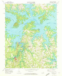
1968 · Tungsten
USGS Topo · 1:24,000

1968 · John H Kerr Dam
USGS Topo · 1:24,000

1970 · Vicksboro
USGS Topo · 1:24,000
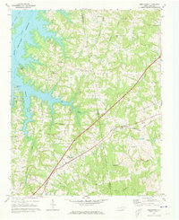
1970 · Middleburg
USGS Topo · 1:24,000