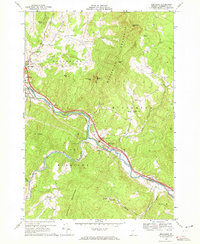
1968 Map of Middlesex
USGS Topo · Published 1972About this map
The Winooski River carves a deep path through the center of this landscape, separating the Worcester Mountains to the north from the Northfield Mountains in the south. In the late 1960s, this corridor served as the primary artery for both transportation and industry, with the newly established Interstate 89 featuring an Interchange 10 near Waterbury and Interchange 9 at Middlesex. These modern developments sit alongside older valley settlements like Colbyville, Graves, and Mill Village.
Find a feature on this map
42 named features on this map. Tap any name to fly to it.
Don’t see what you’re looking for? This feature index may not catch every label — zoom into the map to look around manually.
Map Details
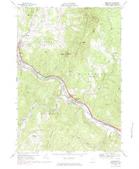
Editions of this 1968 Middlesex Map
2 editions found
Other maps of this area

1919 · Lincoln Mountain
USGS Topo · 1:62,500

1919 · Montpelier
USGS Topo · 1:62,500

1920 · Lincoln Mountain
USGS Topo · 1:48,000

1921 · Richmond
USGS Topo · 1:48,000

1921 · Lincoln Mountain
USGS Topo · 1:62,500

1921 · Montpelier
USGS Topo · 1:62,500

1922 · Barre
USGS Topo · 1:48,000

1924 · Barre
USGS Topo · 1:62,500

1924 · Camels Hump
USGS Topo · 1:62,500

1944 · Montpelier
USGS Topo · 1:62,500