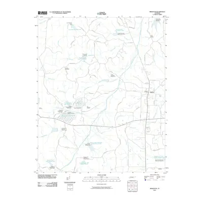
2010 Map of Middleton
USGS Topo · Published 2010About this map
Middleton serves as the primary hub in this corner of Hardeman County, featuring the Middleton Post Office and a network of roads extending into a landscape defined by an extensive system of water management. The drainage patterns of Porters Creek and its many tributaries, such as Thompson Creek and Stewart Branch, have been significantly altered by numerous dams. These structures have created a series of numbered reservoirs, including Porters Creek Lake Number Six and Porters Creek Watershed Number Sixteen Lake.
Find a feature on this map
90 named features on this map. Tap any name to fly to it.
Don’t see what you’re looking for? This feature index may not catch every label — zoom into the map to look around manually.
Map Details
Editions of this 2010 Middleton Map
This is the sole edition of this map. No revisions or reprints were ever made.
Other maps of this area
1950 · Ashland
USGS Topo · 1:62,500
1950 · Pocahontas
USGS Topo · 1:24,000
1950 · Hebron
USGS Topo · 1:24,000
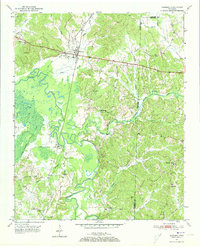
1950 · Hornsby
USGS Topo · 1:24,000
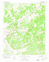
1950 · Middleburg
USGS Topo · 1:24,000
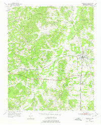
1950 · Middleton
USGS Topo · 1:24,000
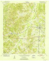
1951 · Middleton
USGS Topo · 1:24,000
1951 · Middleburg
USGS Topo · 1:24,000
1951 · Hebron
USGS Topo · 1:24,000
1951 · Hornsby
USGS Topo · 1:24,000