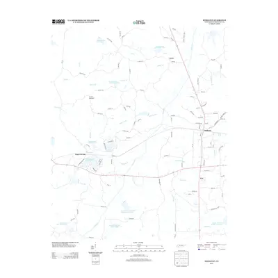
2013 Map of Middleton
USGS Topo · Published 2013About this map
Middleton and the surrounding Hardeman County landscape are defined by an intricate network of waterways and managed reservoirs. At the intersection of state routes, the town serves as a hub near Rogers Springs and the smaller settlements of Lisbon and Poor. The terrain is characterized by low-lying wetlands and creek systems, including Porters Creek and Cypress Creek, which feed into numerous numbered lakes such as Porters Creek Lake Number Six and Woodran Lake Number Two. These water bodies, part of a watershed management system, dominate the topography between Porters Mountain and Nubbin Ridge. Local road networks like Wellington Rd and George W Rd connect these rural communities, illustrating a pattern of modern Southern settlement where infrastructure must navigate the frequent crossings of the Colonel Fork and Thompson Creek.
Find a feature on this map
104 named features on this map. Tap any name to fly to it.
Don’t see what you’re looking for? This feature index may not catch every label — zoom into the map to look around manually.
Map Details
Editions of this 2013 Middleton Map
This is the sole edition of this map. No revisions or reprints were ever made.
Other maps of this area

1950 · Ashland
USGS Topo · 1:62,500

1950 · Pocahontas
USGS Topo · 1:24,000

1950 · Hebron
USGS Topo · 1:24,000

1950 · Hornsby
USGS Topo · 1:24,000

1950 · Middleburg
USGS Topo · 1:24,000

1950 · Middleton
USGS Topo · 1:24,000

1951 · Middleton
USGS Topo · 1:24,000

1951 · Middleburg
USGS Topo · 1:24,000

1951 · Hebron
USGS Topo · 1:24,000

1951 · Hornsby
USGS Topo · 1:24,000