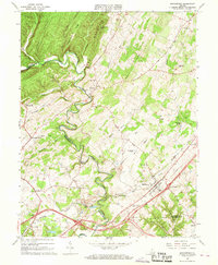
1966 Map of Middletown
USGS Topo · Published 1968About this map
Cedar Creek carves a winding path through the valley between North Mountain and Poplar Ridge, defining the border between Frederick and Shenandoah counties. In this mid-1960s landscape, the town of Middletown serves as a central hub, flanked by historic landmarks such as the Cedar Creek Battlefield and Monroe College. The map reveals a dense network of family-named features and early frontier sites, including Nieswander's Fort and Stephens Fort. Subsurface geography is noted through Crystal Caverns, Ogdens Cave, and Panther Cave, while the agrarian economy is evident in the numerous quarries and mills at Meadow Mills. Small settlements like Marlboro and Lebanon Church are connected by the Baltimore and Ohio railroad, reflecting a community shaped by both the rugged terrain of the Shenandoah Valley and centuries of regional conflict and transit.
Find a feature on this map
74 named features on this map. Tap any name to fly to it.
Don’t see what you’re looking for? This feature index may not catch every label — zoom into the map to look around manually.
Map Details
Editions of this 1966 Middletown Map
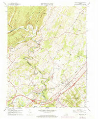
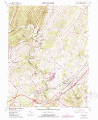
3 editions found
Other maps of this area

1893 · Luray
USGS Topo · 1:125,000

1894 · Winchester
USGS Topo · 1:125,000

1905 · Luray
USGS Topo · 1:125,000

1923 · Middletown
USGS Topo · 1:62,500

1937 · Middletown
USGS Topo · 1:48,000

1938 · Winchester
USGS Topo · 1:48,000

1939 · Front Royal
USGS Topo · 1:48,000

1942 · Winchester
USGS Topo · 1:62,500

1943 · Middletown
USGS Topo · 1:62,500

1944 · Front Royal
USGS Topo · 1:62,500