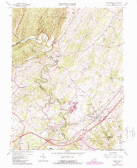
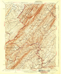
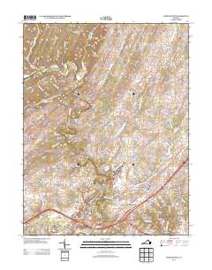
1966 Map of Middletown
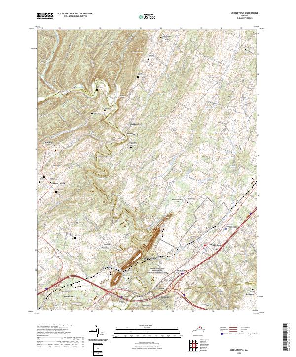
USGS Topo · Published 1987About this map
Middletown stands at the eastern edge of this mid-century landscape, where the CSX railroad and Interstate highways intersect a terrain marked by deep history and geology. The winding path of Cedar Creek serves as a natural boundary between Frederick and Shenandoah counties, passing beneath North Mountain and through Baldwin Gap. This area is notable for its numerous limestone features and landmarks of early settlement, including the Nieswanders Fort (Ruins), Stephens Fort, and natural openings like Panther Cave and Crystal Caverns. In the settlement of Marlboro, the terrain transitions from the ridges of Pangletown Run toward the industrial operations at Meadow Mills. The map details a network of rural institutions, such as Monroe College and Lebanon Church, alongside legacy family sites like the Stickley Cem and Ridings Hill. Extensive quarrying operations and conveyors near Middle Marsh Run reflect the local mineral economy during the 1960s and 1980s.
Find a feature on this map
74 named features on this map. Tap any name to fly to it.
Don’t see what you’re looking for? This feature index may not catch every label — zoom into the map to look around manually.
Map Details
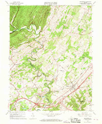
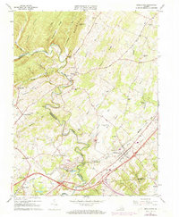
Editions of this 1966 Middletown Map
3 editions found
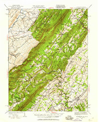
Historical Maps of Strasburg Through Time
12 maps found

1908 Middletown
Frederick County, VA

1923 Middletown
Frederick County, VA
1937 Middletown
Frederick County, VA
1943 Middletown
Frederick County, VA
1966 Middletown
Frederick County, VA
1972 Middletown
Frederick County, VA
1999 Middletown
Frederick County, VA
2010 Middletown
Frederick County, VA
2013 Middletown
Frederick County, VA
2016 Middletown
Frederick County, VA
2019 Middletown
Frederick County, VA
2022 Middletown
Frederick County, VA