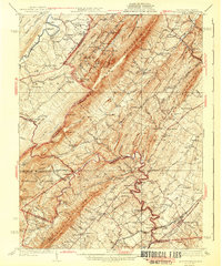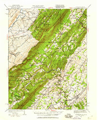
1937 Map of Middletown
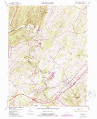
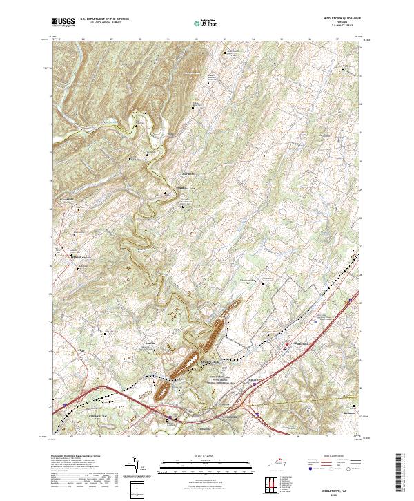
USGS Topo · Published 1959About this map
North Mountain and Little North Mountain dominate the central topography of this 1930s survey, marking a complex boundary landscape where West Virginia meets Virginia. The settlement pattern follows the fertile valleys and gaps, with the Baltimore and Ohio railroad corridor anchoring the eastern edge near Middletown. A deep history of conflict and frontier defense is visible through labels for the Cedar Creek Battlefield and Nieswanders Fort, while early commercial activity is evidenced by Star Tannery and multiple river crossings like Hooks Mills. The map also captures the region's early tourism and natural resources, featuring the resort atmosphere of Rock Enon Springs and Capon Springs alongside geologic landmarks like Crystal Caverns. Throughout the area, numerous country schools and churches, such as Oak Grove School and Lebanon Church, provide a dense network of location data for genealogical research into the families living along Cedar Creek and the Cacapon River.
Find a feature on this map
130 named features on this map. Tap any name to fly to it.
Don’t see what you’re looking for? This feature index may not catch every label — zoom into the map to look around manually.
Map Details
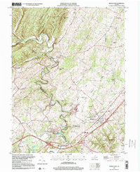
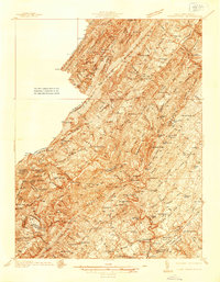
Editions of this 1937 Middletown Map
2 editions found
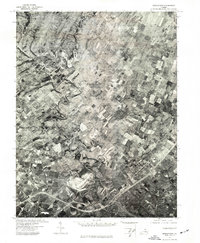
Historical Maps of Strasburg Through Time
8 maps found