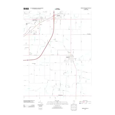
2013 Map of Middletown
USGS Topo · Published 2013About this map
The White River winds through the northern portion of this landscape, anchoring a network of waterways that define the region between Chesterfield and Middletown. This era of development is marked by a sophisticated transportation and aviation infrastructure, featuring the Anderson Municipal Airport-Darlington Field and the Burk Personal Use Airport. The drainage patterns of East Central Indiana are clearly visible through numerous named watercourses such as Fall Creek, Sugar Creek, and Sly Fork, which weave between the agricultural grid and the expanding residential outskirts of Daleville. Further south, the map documents smaller crossroads communities like Mechanicsburg and Cross Roads, providing a detailed look at the rural-to-suburban transition. The presence of engineered drainage features like Bronnenberg Ditch and Brandon Ditch reflects the long-standing management of the fertile glacial till plain for both farming and habitation.
Find a feature on this map
137 named features on this map. Tap any name to fly to it.
Don’t see what you’re looking for? This feature index may not catch every label — zoom into the map to look around manually.
Map Details
Editions of this 2013 Middletown Map
This is the sole edition of this map. No revisions or reprints were ever made.
Other maps of this area

1949 · New Castle West
USGS Topo · 1:24,000

1952 · Muncie West
USGS Topo · 1:24,000

1952 · Anderson
USGS Topo · 1:24,000

1953 · Pendleton
USGS Topo · 1:24,000

1953 · Cincinnati
USGS Topo · 1:250,000

1953 · Muncie
USGS Topo · 1:250,000

1956 · Muncie
USGS Topo · 1:250,000

1957 · Cincinnati
USGS Topo · 1:250,000

1960 · Gilman
USGS Topo · 1:24,000

1960 · New Castle West
USGS Topo · 1:24,000