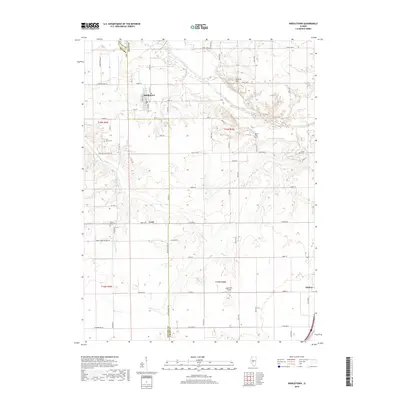
2018 Map of Middletown
USGS Topo · Published 2018About this map
Middletown stands at the intersection of Co Hwy 1 and Co Hwy 15 in the northern portion of Logan County, serving as a primary hub for this agricultural region. The landscape is defined by the winding course of Salt Creek to the north and the elevations of Polecat Hill, which overlook the surrounding prairie. A distinct grid of rural roads, including Peoria Rd and 800th St, connects smaller locales like Croft and Elkhart.
Find a feature on this map
70 named features on this map. Tap any name to fly to it.
Don’t see what you’re looking for? This feature index may not catch every label — zoom into the map to look around manually.
Map Details
Editions of this 2018 Middletown Map
This is the sole edition of this map. No revisions or reprints were ever made.
Other maps of this area

1907 · Springfield
USGS Topo · 1:62,500

1911 · Lincoln
USGS Topo · 1:62,500

1913 · Lincoln
USGS Topo · 1:62,500

1930 · Springfield
USGS Topo · 1:62,500

1940 · Springfield
USGS Topo · 1:62,500

1948 · Mason City
USGS Topo · 1:62,500

1949 · Mason City
USGS Topo · 1:62,500

1954 · Mechanicsburg
USGS Topo · 1:62,500

1958 · Peoria
USGS Topo · 1:250,000

1958 · Decatur
USGS Topo · 1:250,000