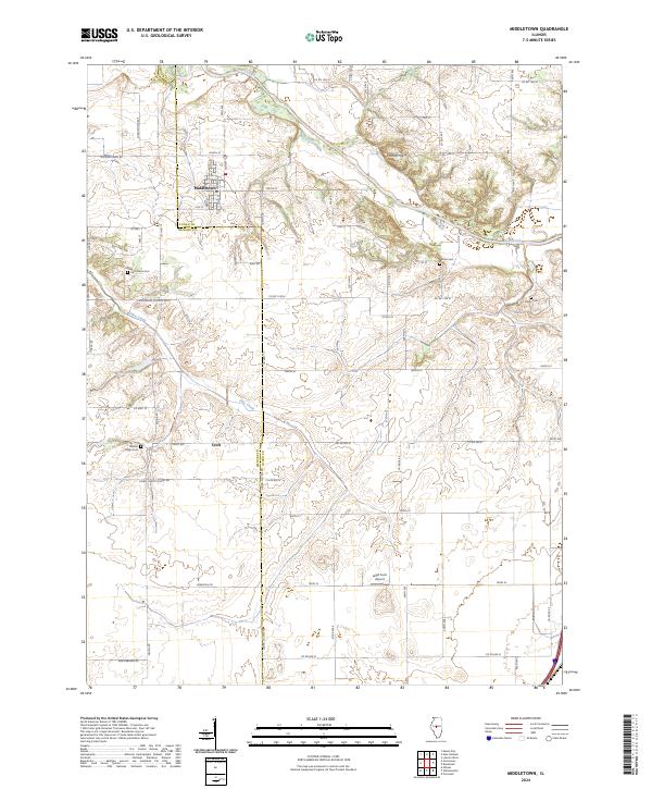
2024 Map of Middletown
USGS Topo · Published 2024About this map
Middletown sits at the intersection of a sprawling rural grid in central Illinois, where the landscape is defined by the winding course of Salt Creek and its tributary, Pike Creek. This contemporary survey reveals a deeply rooted agricultural community where modern infrastructure like the Leigh Farm Airport coexists with generational landmarks. The map traces the county line between Logan and Menard counties, showing how local roads like County Highway 15 and Peoria Road connect the village to smaller settlements such as Croft. For family historians, the presence of numerous burying grounds, including Walnut Ridge Cem, Irish Grove Cem, Barnes Cem, and Evans Cem, offers a clear spatial record of the area's early families. The terrain rises subtly at Polecat Hill, providing one of the few prominent topographic features in a region otherwise dominated by organized section lines and creek-fed bottomlands.
Find a feature on this map
68 named features on this map. Tap any name to fly to it.
Don’t see what you’re looking for? This feature index may not catch every label — zoom into the map to look around manually.
Map Details
Editions of this 2024 Middletown Map
This is the sole edition of this map. No revisions or reprints were ever made.
Other maps of this area

1907 · Springfield
USGS Topo · 1:62,500

1911 · Lincoln
USGS Topo · 1:62,500

1913 · Lincoln
USGS Topo · 1:62,500

1930 · Springfield
USGS Topo · 1:62,500

1940 · Springfield
USGS Topo · 1:62,500

1948 · Mason City
USGS Topo · 1:62,500

1949 · Mason City
USGS Topo · 1:62,500

1954 · Mechanicsburg
USGS Topo · 1:62,500

1958 · Peoria
USGS Topo · 1:250,000

1958 · Decatur
USGS Topo · 1:250,000