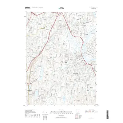
2018 Map of Middletown
USGS Topo · Published 2018About this map
The Connecticut River defines the eastern edge of this region, flowing past Cromwell and the historic heart of Middletown. This urban and suburban landscape is anchored by Wesleyan University and South Farms, showing a dense network of neighborhoods such as Bretton Heights and Newfield Heights. The topography is marked by the dramatic basalt ridges of the Metacomet Ridge, including Lamentation Mountain and Higby Mountain, which are traversed by the New England National Scenic Trail.
Find a feature on this map
129 named features on this map. Tap any name to fly to it.
Don’t see what you’re looking for? This feature index may not catch every label — zoom into the map to look around manually.
Map Details
Editions of this 2018 Middletown Map
This is the sole edition of this map. No revisions or reprints were ever made.
Other maps of this area

1892 · New Haven
USGS Topo · 1:62,500

1892 · Meriden
USGS Topo · 1:62,500

1893 · Guilford
USGS Topo · 1:62,500

1893 · Middletown
USGS Topo · 1:62,500

1893 · Meriden
USGS Topo · 1:62,500

1906 · Farmington
USGS Topo · 1:125,000

1921 · New Haven
USGS Topo · 1:62,500

1928 · Cromwell
USGS Topo · 1:24,000

1928 · Glastonbury
USGS Topo · 1:24,000

1943 · Durham
USGS Topo · 1:25,000