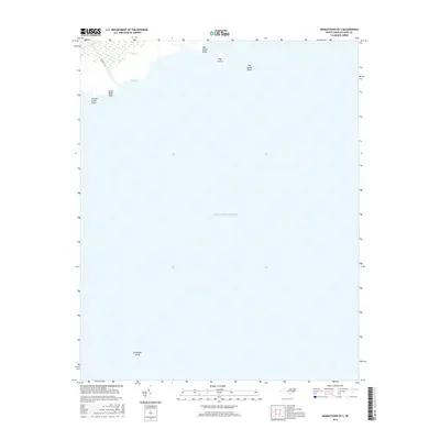
2016 Map of Middletown OE S
USGS Topo · Published 2016About this map
Juniper Creek Point and North Bluff Point mark the transition from the marshy Hyde County coastline into the expansive waters of the Atlantic Ocean. This 2016 survey illustrates a landscape dominated by the sea, where coastal hydrology is defined by features such as Sanger Cr and the sheltered Sage Bay. The map provides specific detail on offshore hazards and landforms, including the shallow reach of Hog Island Shoal and the isolated Hog Island.
Find a feature on this map
10 named features on this map. Tap any name to fly to it.
Don’t see what you’re looking for? This feature index may not catch every label — zoom into the map to look around manually.
Map Details
Editions of this 2016 Middletown OE S Map
This is the sole edition of this map. No revisions or reprints were ever made.
Other maps of this area

1950 · Howard Reef
USGS Topo · 1:24,000

1951 · Middletown Anchorage
USGS Topo · 1:24,000
1951 · Bluff Point
USGS Topo · 1:24,000

1951 · Middletown
USGS Topo · 1:24,000

1951 · New Holland
USGS Topo · 1:24,000

1953 · Rocky Mount
USGS Topo · 1:250,000

1954 · Rocky Mount
USGS Topo · 1:250,000

1955 · Wanchese
USGS Topo · 1:250,000

1957 · Manteo
USGS Topo · 1:250,000

1960 · Manteo
USGS Topo · 1:250,000