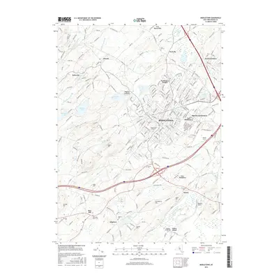
2016 Map of Middletown
USGS Topo · Published 2016About this map
Middletown serves as the central hub of this Orange County landscape, where the urban grid meets the winding Wallkill River and its varied tributaries. The map documents a complex mix of education and transit, anchored by the Orange County Community Coll campus and the aviation facilities at Randall Airport. To the north and west, the terrain rises toward several named summits like Sayers Hill and Mills Hill, while the valley floor is dotted with long-standing local landmarks. Genealogists will find a wealth of burial sites including the Old School Baptist Cem near Slate Hill and the extensive Hillside Cem within the city limits. The presence of smaller hamlets like Denton and Ridgebury illustrates the persistent settlement patterns of the Wallkill Valley.
Find a feature on this map
48 named features on this map. Tap any name to fly to it.
Don’t see what you’re looking for? This feature index may not catch every label — zoom into the map to look around manually.
Map Details
Editions of this 2016 Middletown Map
This is the sole edition of this map. No revisions or reprints were ever made.
Other maps of this area

1904 · Ellenville
USGS Topo · 1:62,500

1906 · Ellenville
USGS Topo · 1:62,500

1906 · Port Jervis
USGS Topo · 1:62,500

1906 · Goshen
USGS Topo · 1:62,500

1908 · Goshen
USGS Topo · 1:62,500

1908 · Port Jervis
USGS Topo · 1:62,500

1909 · Monticello
USGS Topo · 1:62,500

1911 · Monticello
USGS Topo · 1:62,500

1938 · Goshen
USGS Topo · 1:62,500

1942 · Pine Island
USGS Topo · 1:24,000