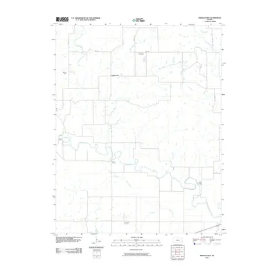
2009 Map of Middletown
USGS Topo · Published 2009About this map
Middletown sits as a central point in this rural Kansas landscape, where the meandering Verdigris River and its numerous tributaries carve through the plains. The river's path is marked by historic crossings such as Moss Bridge and Leeper Bridge, reflecting the local infrastructure required to navigate the waterway. The land is predominantly agricultural, subdivided by a strict grid of section roads including Furr Rd and Lynx Rd, yet it is punctuated by natural landmarks like the prominent elevation of Round Top.
Find a feature on this map
22 named features on this map. Tap any name to fly to it.
Don’t see what you’re looking for? This feature index may not catch every label — zoom into the map to look around manually.
Map Details
Editions of this 2009 Middletown Map
This is the sole edition of this map. No revisions or reprints were ever made.
Other maps of this area

1886 · Fredonia
USGS Topo · 1:125,000

1894 · Fredonia
USGS Topo · 1:125,000

1938 · Fredonia
USGS Topo · 1:62,500

1938 · Altoona
USGS Topo · 1:62,500

1939 · Altoona
USGS Topo · 1:48,000

1939 · Fredonia
USGS Topo · 1:48,000

1942 · Fredonia
USGS Topo · 1:62,500

1943 · Fredonia
USGS Topo · 1:62,500

1943 · Altoona
USGS Topo · 1:62,500

1947 · Joplin
USGS Topo · 1:250,000