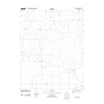
2012 Map of Middletown
USGS Topo · Published 2012About this map
The Verdigris River serpentines across this Wilson County landscape, defining the local geography through its deep bends and the tributaries that feed it, including Greathouse Cr and Snake Cr. The small settlement of Middletown serves as a central point in a region dominated by agricultural land and a strictly organized grid of rural roads like Coyville Rd and Harper Rd. Historically significant crossings such as Moss Bridge and Leeper Bridge mark the few points where travel spans the river's path, highlighting the importance of these nodes for local transit.
Find a feature on this map
27 named features on this map. Tap any name to fly to it.
Don’t see what you’re looking for? This feature index may not catch every label — zoom into the map to look around manually.
Map Details
Editions of this 2012 Middletown Map
This is the sole edition of this map. No revisions or reprints were ever made.
Other maps of this area

1886 · Fredonia
USGS Topo · 1:125,000

1894 · Fredonia
USGS Topo · 1:125,000

1938 · Fredonia
USGS Topo · 1:62,500

1938 · Altoona
USGS Topo · 1:62,500

1939 · Altoona
USGS Topo · 1:48,000

1939 · Fredonia
USGS Topo · 1:48,000

1942 · Fredonia
USGS Topo · 1:62,500

1943 · Fredonia
USGS Topo · 1:62,500

1943 · Altoona
USGS Topo · 1:62,500

1947 · Joplin
USGS Topo · 1:250,000