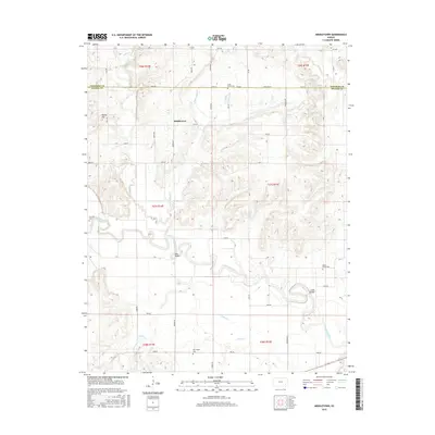
2015 Map of Middletown
USGS Topo · Published 2015About this map
The Verdigris River snakes across this section of southeastern Kansas, defining the local geography as it flows through the transition from Woodson County into Wilson County. The small settlement of Middletown sits atop the higher ground between Little Sandy Cr and Sandy Creek, serving as a central point for the surrounding rural section lines. This area is deeply rooted in local family history, as evidenced by several smaller burial grounds including Little Sandy Cem, Trimmell Cem, and Farmington Cem which are scattered throughout the river valleys. Crossings such as Moss Bridge and Leeper Bridge highlight the historical importance of river access for the agricultural community. To the northwest, the prominent elevation of Round Top provides a rare break in the undulating prairie landscape, overlooking a network of creeks including Greathouse Cr and Snake Cr.
Find a feature on this map
49 named features on this map. Tap any name to fly to it.
Don’t see what you’re looking for? This feature index may not catch every label — zoom into the map to look around manually.
Map Details
Editions of this 2015 Middletown Map
This is the sole edition of this map. No revisions or reprints were ever made.
Other maps of this area

1886 · Fredonia
USGS Topo · 1:125,000

1894 · Fredonia
USGS Topo · 1:125,000

1938 · Fredonia
USGS Topo · 1:62,500

1938 · Altoona
USGS Topo · 1:62,500

1939 · Altoona
USGS Topo · 1:48,000

1939 · Fredonia
USGS Topo · 1:48,000

1942 · Fredonia
USGS Topo · 1:62,500

1943 · Fredonia
USGS Topo · 1:62,500

1943 · Altoona
USGS Topo · 1:62,500

1947 · Joplin
USGS Topo · 1:250,000