
1961 Map of Middlewood Hill
USGS Topo · Published 1963About this map
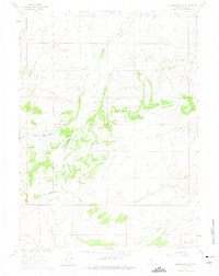
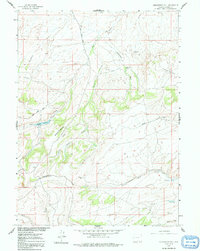
Middlewood Hill rises as the central landmark of this Wyoming landscape, where high-altitude drainage patterns are defined by the Continental Divide crossing the southern portion of the quadrangle. The 1961 field check reveals a sparse, working rangeland focused around the Middlewood Ranch. Water management is critical in this arid environment, evidenced by the presence of an aqueduct and the Adams Reservoir with its recorded spillway elevation. Multiple drainages, including Sage Creek, Trapper Creek, and Middlewood Creek, carve through the terrain, illustrating the complex hydrology of the Missouri River Basin development area. The map also identifies local landmarks such as Round Meadow and Rasmussen, providing a precise record of ranching-era infrastructure and natural features before late-twentieth-century changes.
Find a feature on this map
22 named features on this map. Tap any name to fly to it.
Don’t see what you’re looking for? This feature index may not catch every label — zoom into the map to look around manually.
Map Details
Editions of this 1961 Middlewood Hill Map
3 editions found
Other maps of this area

1932 · Savery
USGS Topo · 1:96,000

1940 · Savery
USGS Topo · 1:125,000

1954 · Rawlins
USGS Topo · 1:250,000

1956 · Bridger Pass
USGS Topo · 1:62,500

1956 · Bolten Ranch
USGS Topo · 1:62,500

1958 · Rawlins
USGS Topo · 1:250,000

1961 · Divide Peak
USGS Topo · 1:24,000

1961 · Pine Grove Ranch
USGS Topo · 1:24,000

1961 · Jack Creek Reservoir
USGS Topo · 1:24,000
1961 · Mc Carty Ranch
USGS Topo · 1:24,000