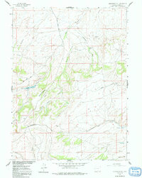
1961 Map of Middlewood Hill
USGS Topo · Published 1992About this map
The Continental Divide winds through this high-altitude landscape of southern Wyoming as it appeared in the early 1960s. The terrain is defined by dramatic elevation changes, notably at Middlewood Hill and Rasmusson Hill, where the drainage patterns of the high plains are clearly visible. Ranching activity is centered around the Middlewood Ranch, while water management is evidenced by an Aqueduct and the Adams Reservoir, which includes a noted Spillway at 7432 feet.
Find a feature on this map
25 named features on this map. Tap any name to fly to it.
Don’t see what you’re looking for? This feature index may not catch every label — zoom into the map to look around manually.
Map Details
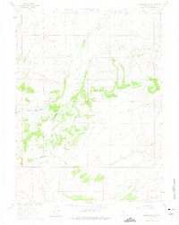
Editions of this 1961 Middlewood Hill Map
3 editions found
Other maps of this area

1932 · Savery
USGS Topo · 1:96,000

1940 · Savery
USGS Topo · 1:125,000

1954 · Rawlins
USGS Topo · 1:250,000

1956 · Bridger Pass
USGS Topo · 1:62,500

1956 · Bolten Ranch
USGS Topo · 1:62,500

1958 · Rawlins
USGS Topo · 1:250,000

1961 · Divide Peak
USGS Topo · 1:24,000

1961 · Middlewood Hill
USGS Topo · 1:24,000

1961 · Pine Grove Ranch
USGS Topo · 1:24,000

1961 · Jack Creek Reservoir
USGS Topo · 1:24,000